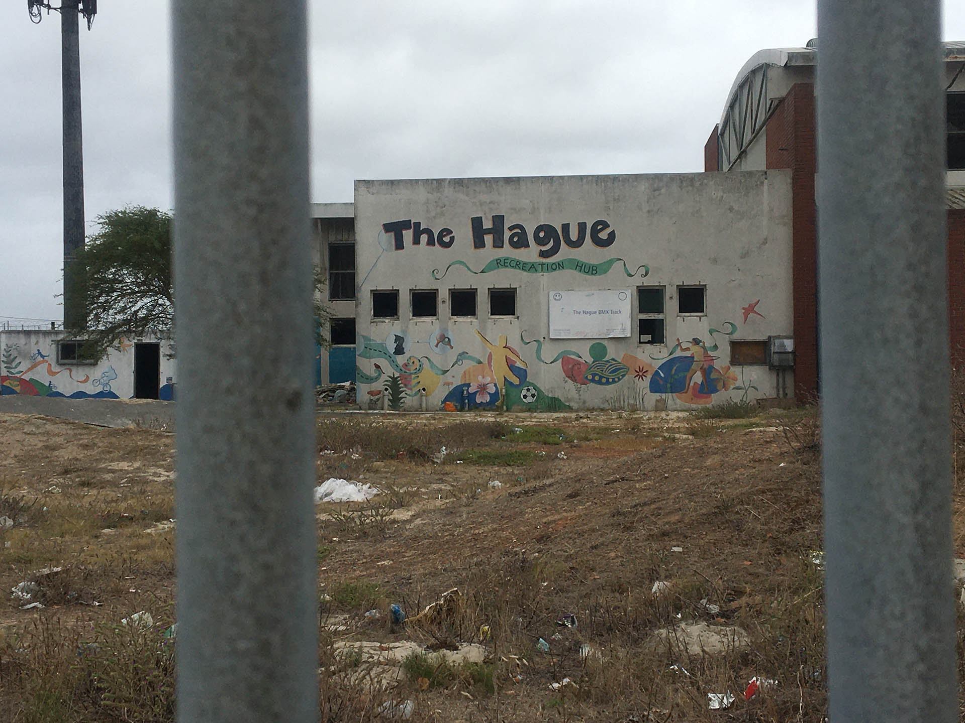
Sympathetically engaging with the knowledge, ideas and experiences of the residents of townships
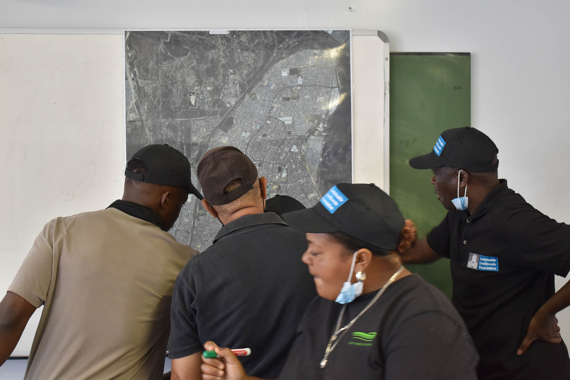
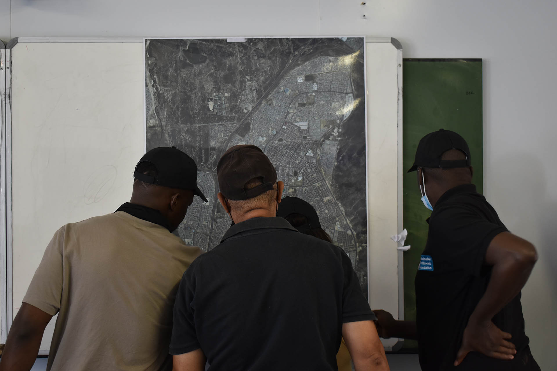
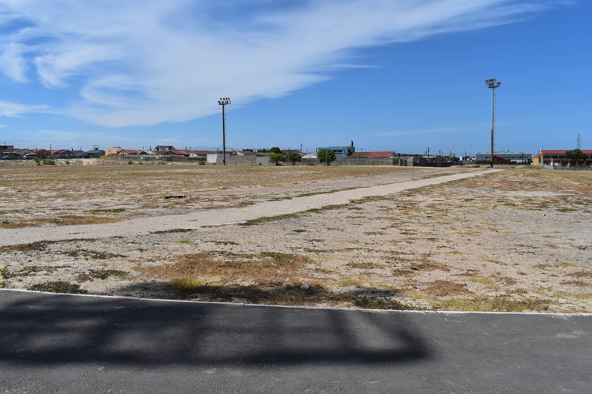
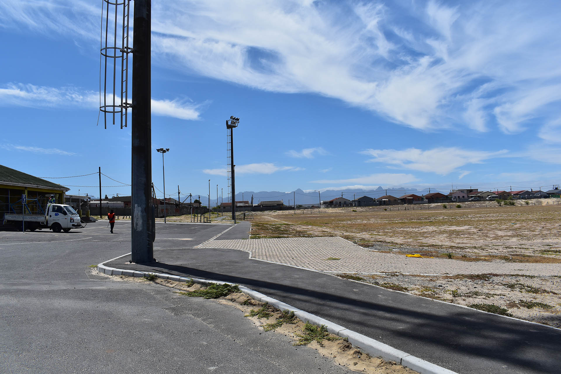
Community Mapping
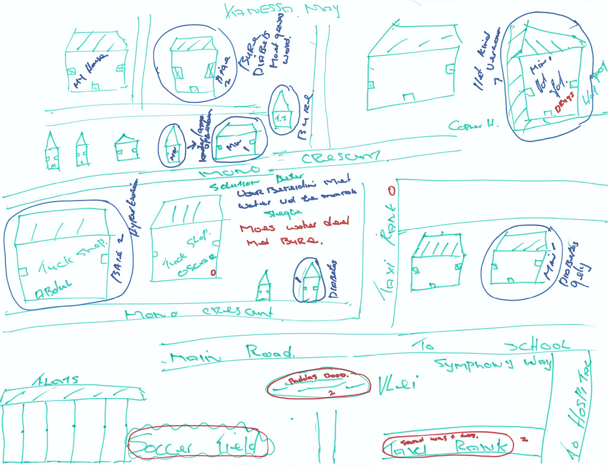
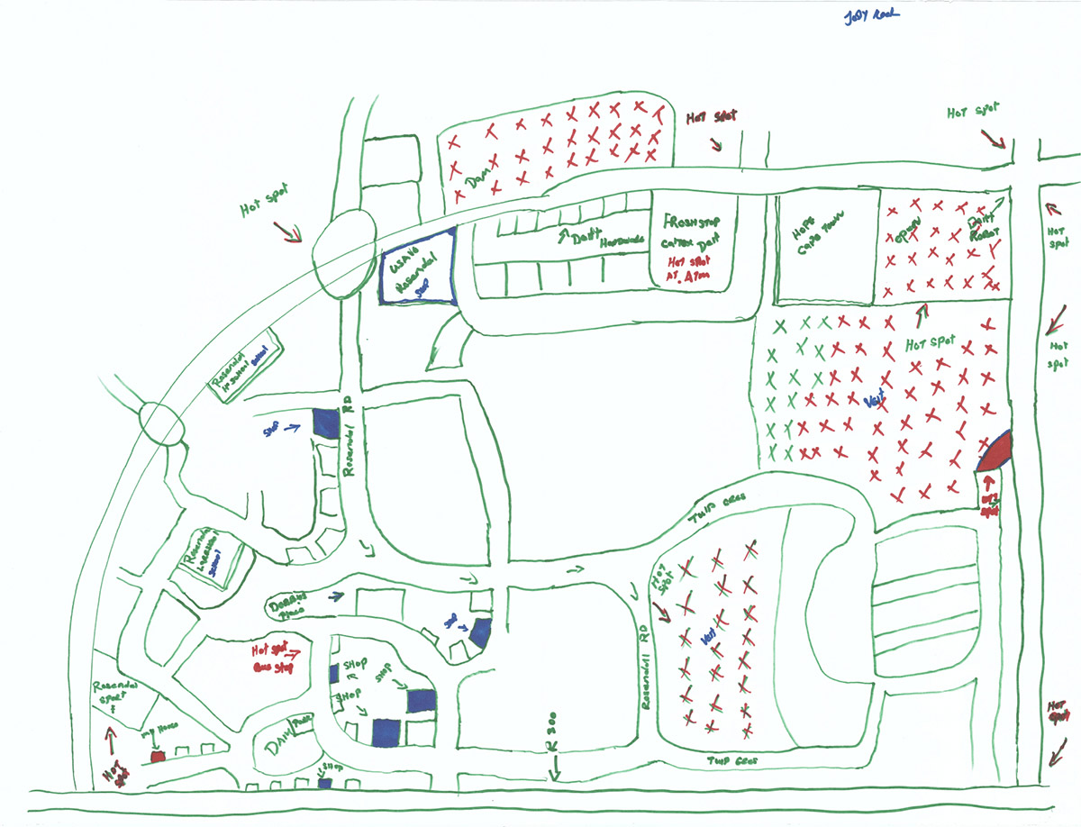
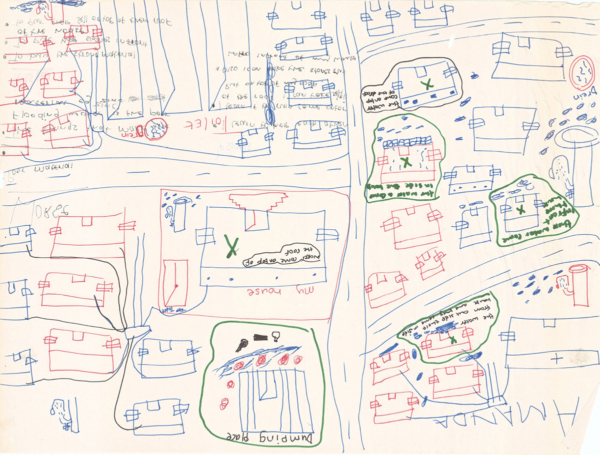
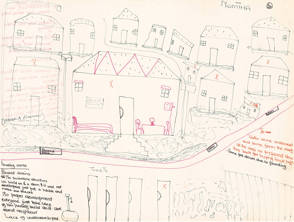
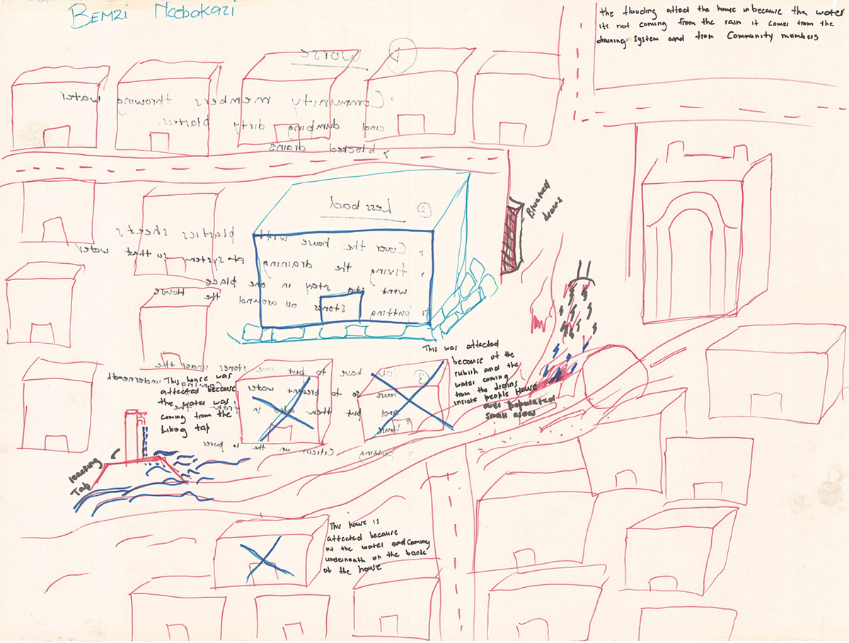
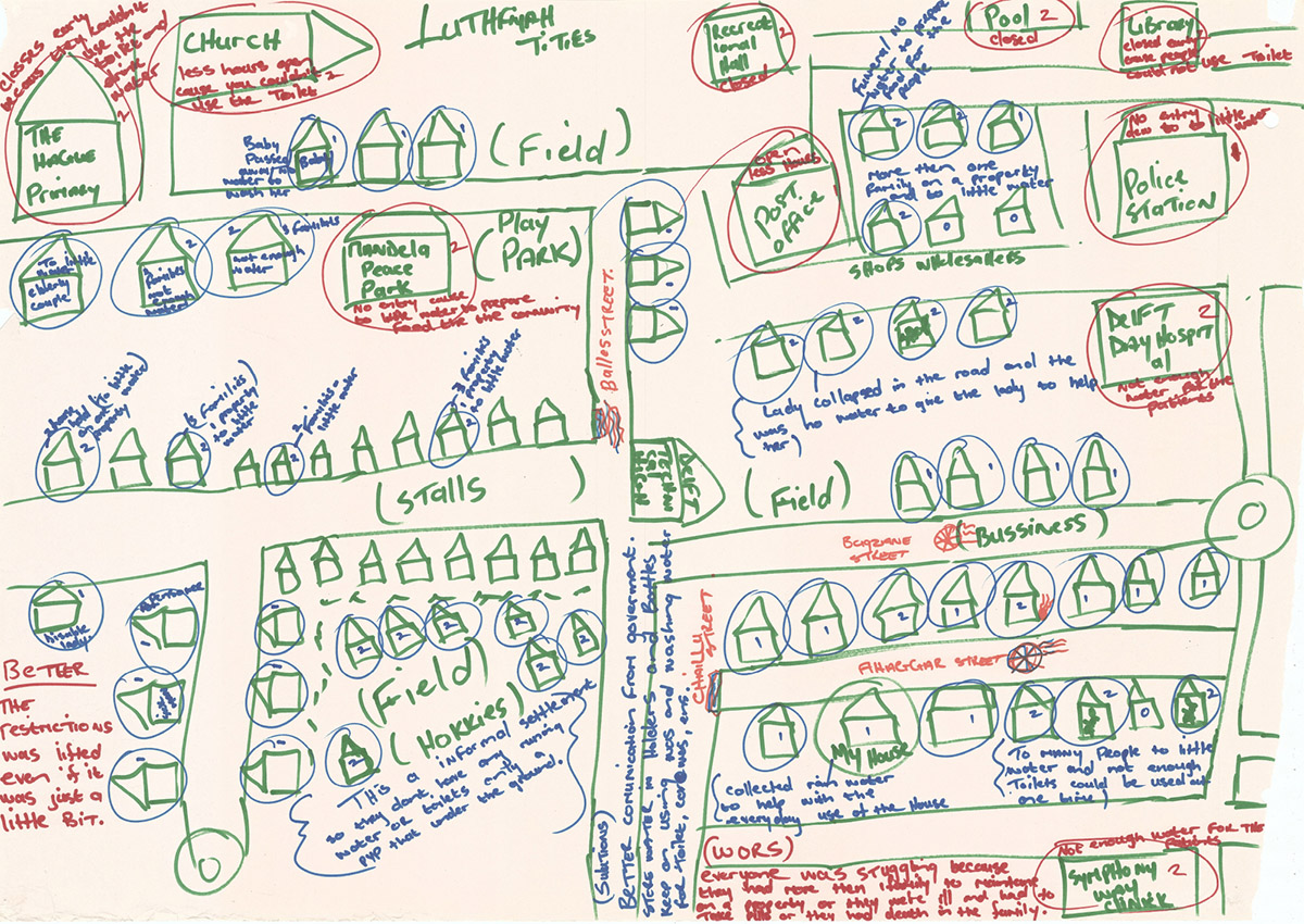
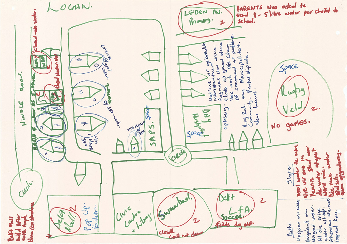
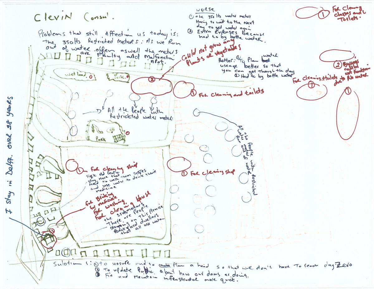
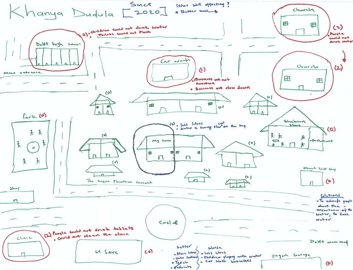
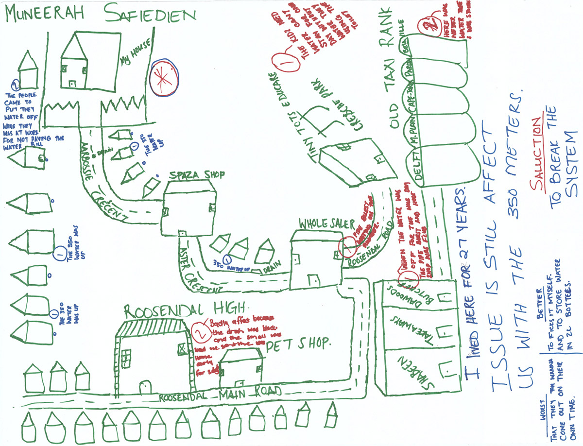
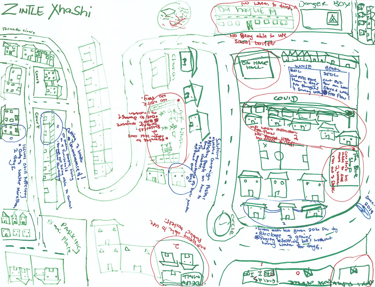
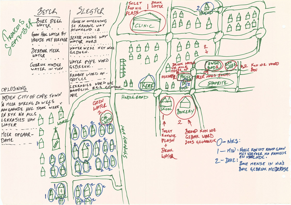
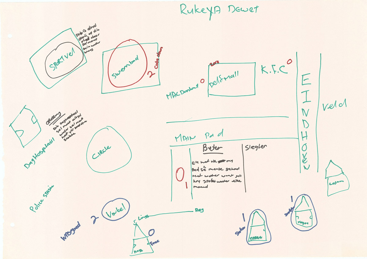
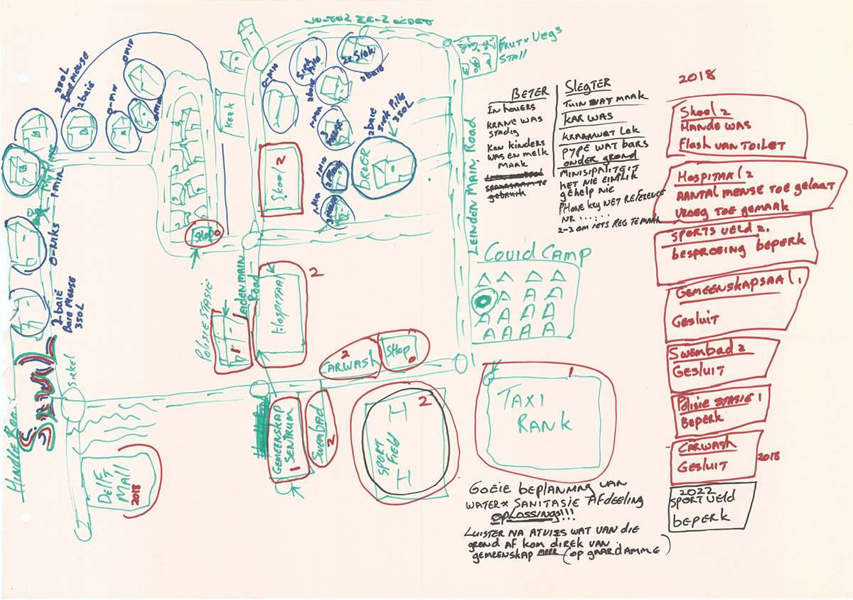
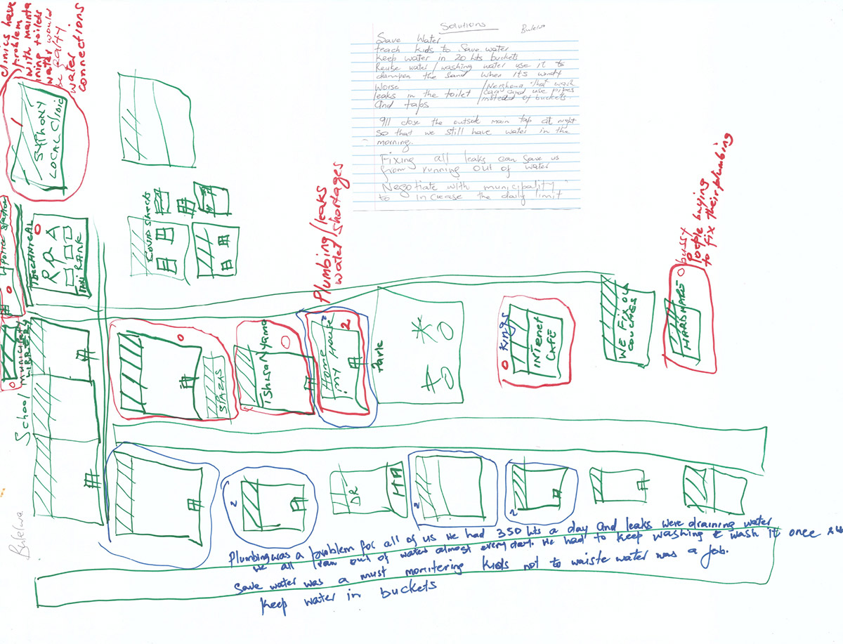
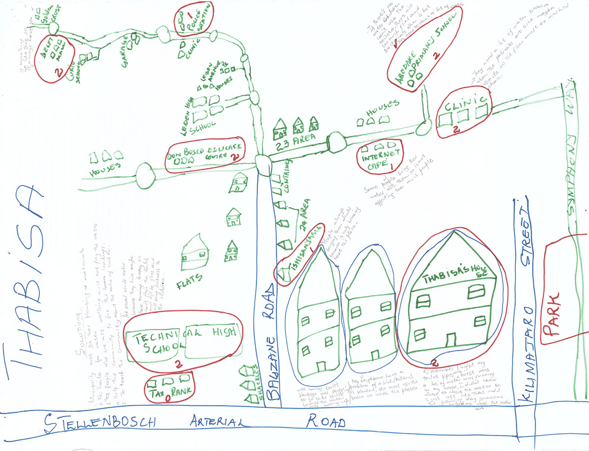
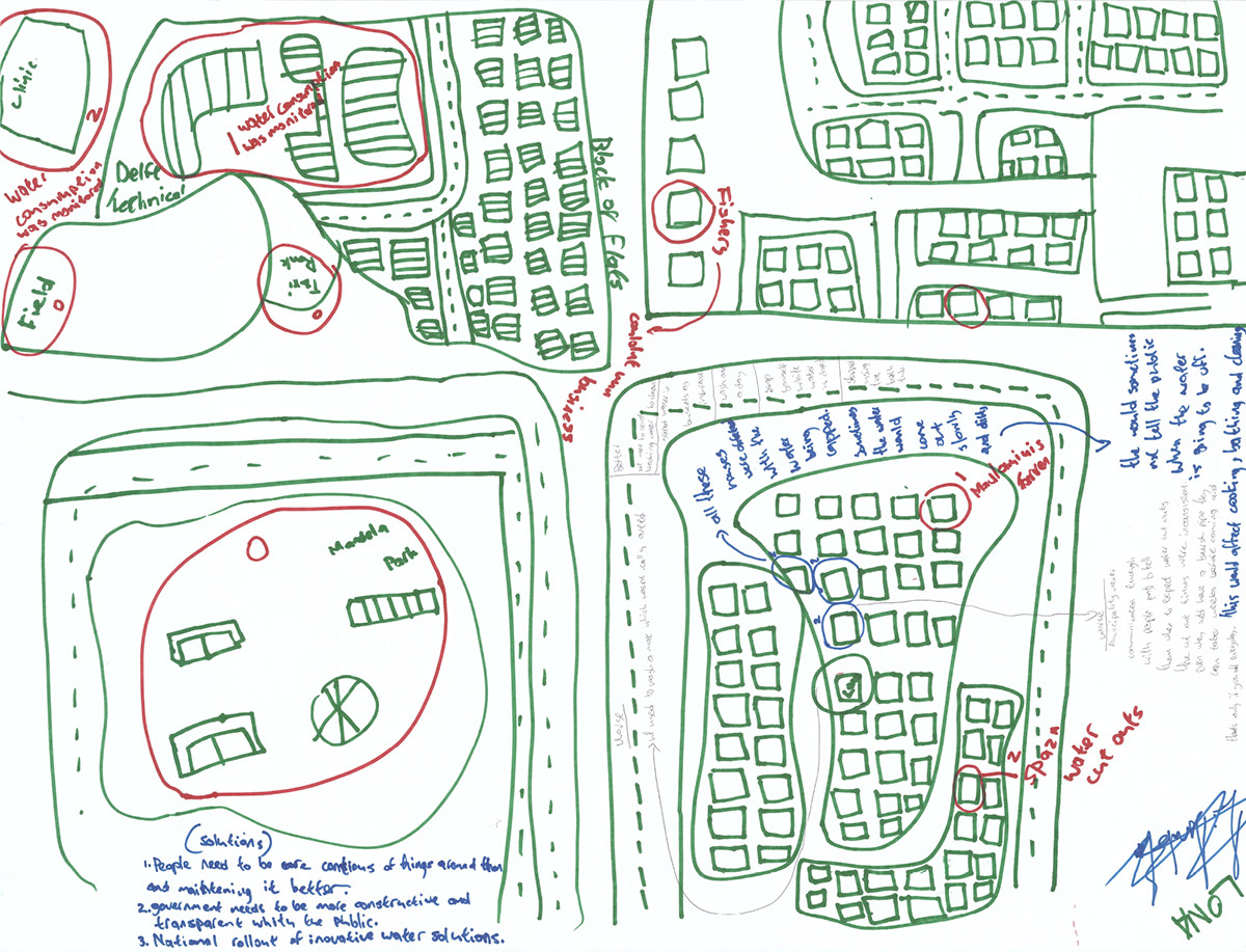
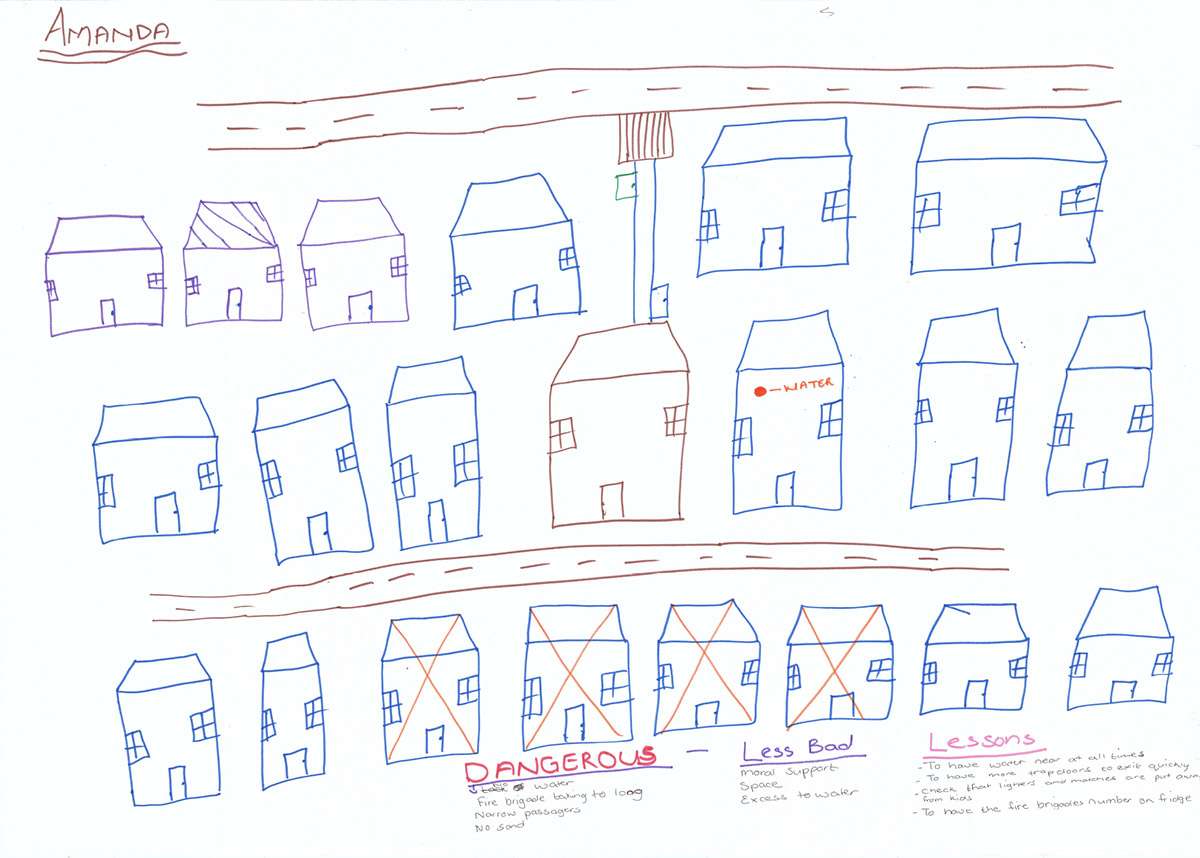
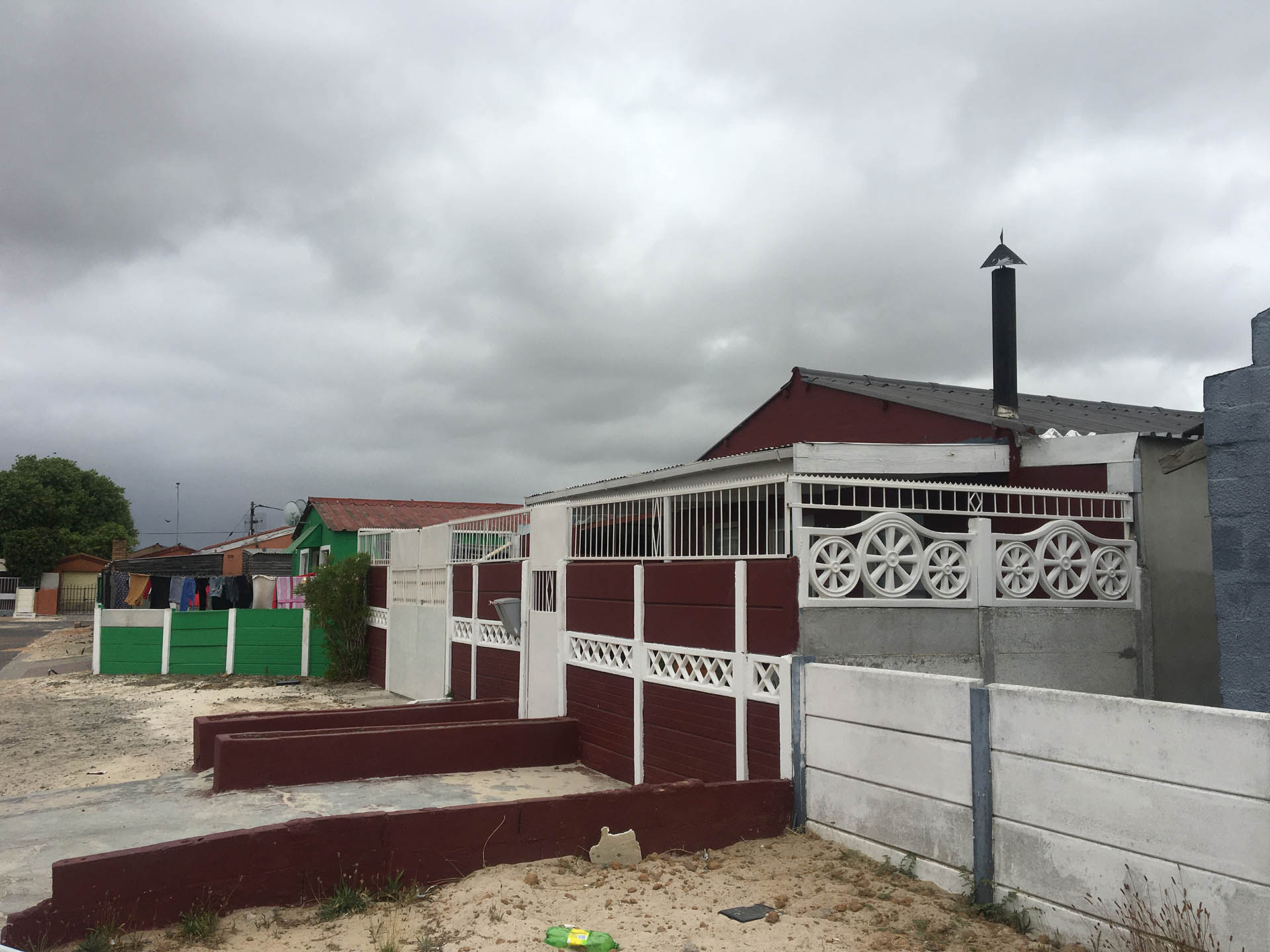
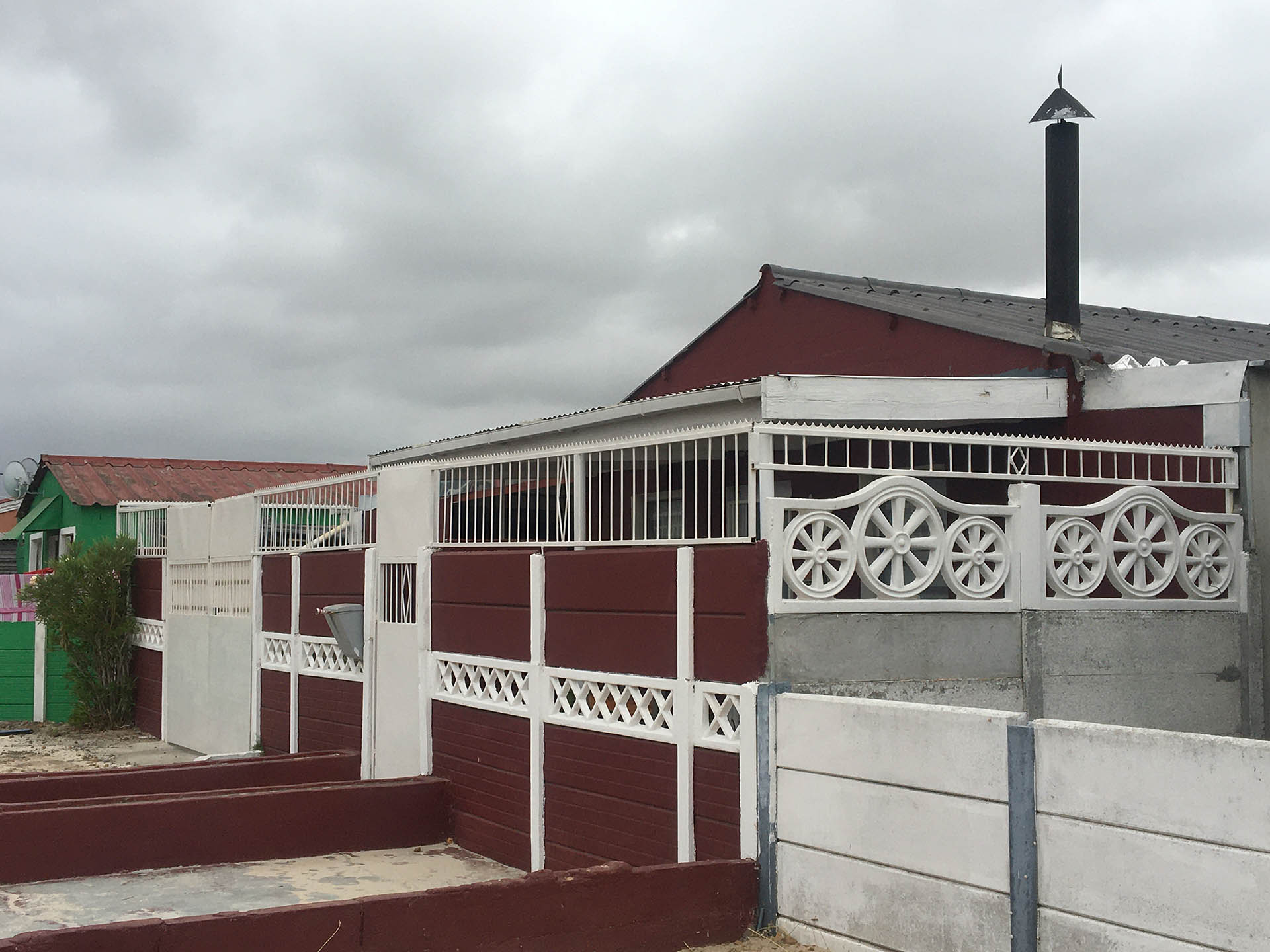
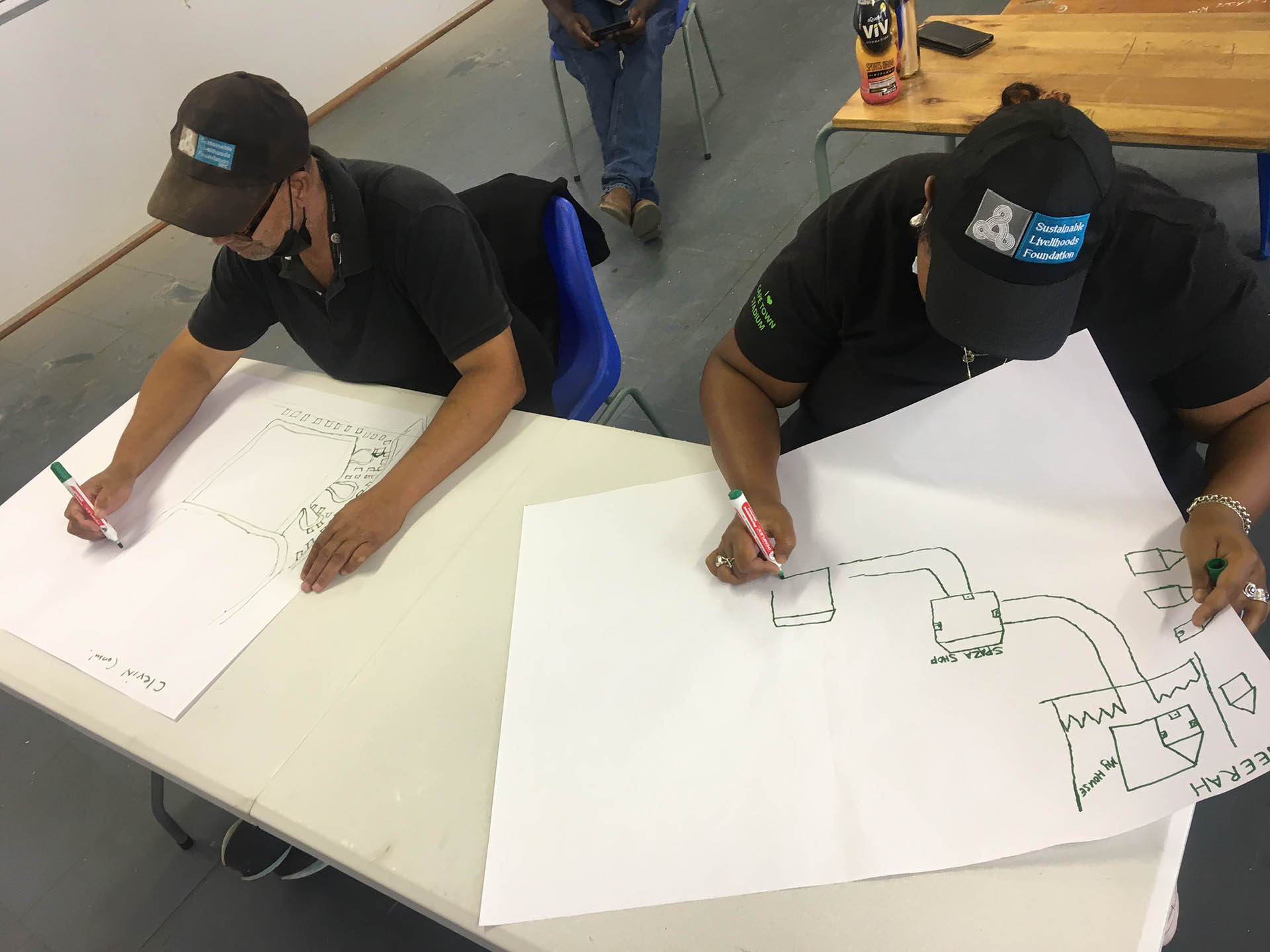
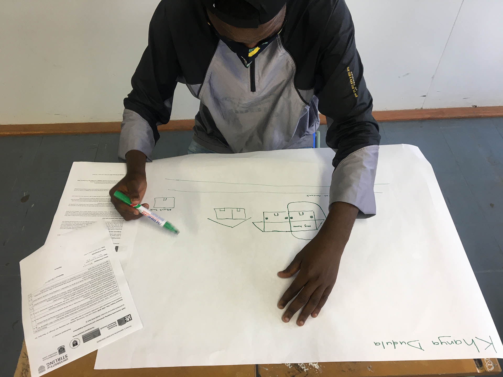
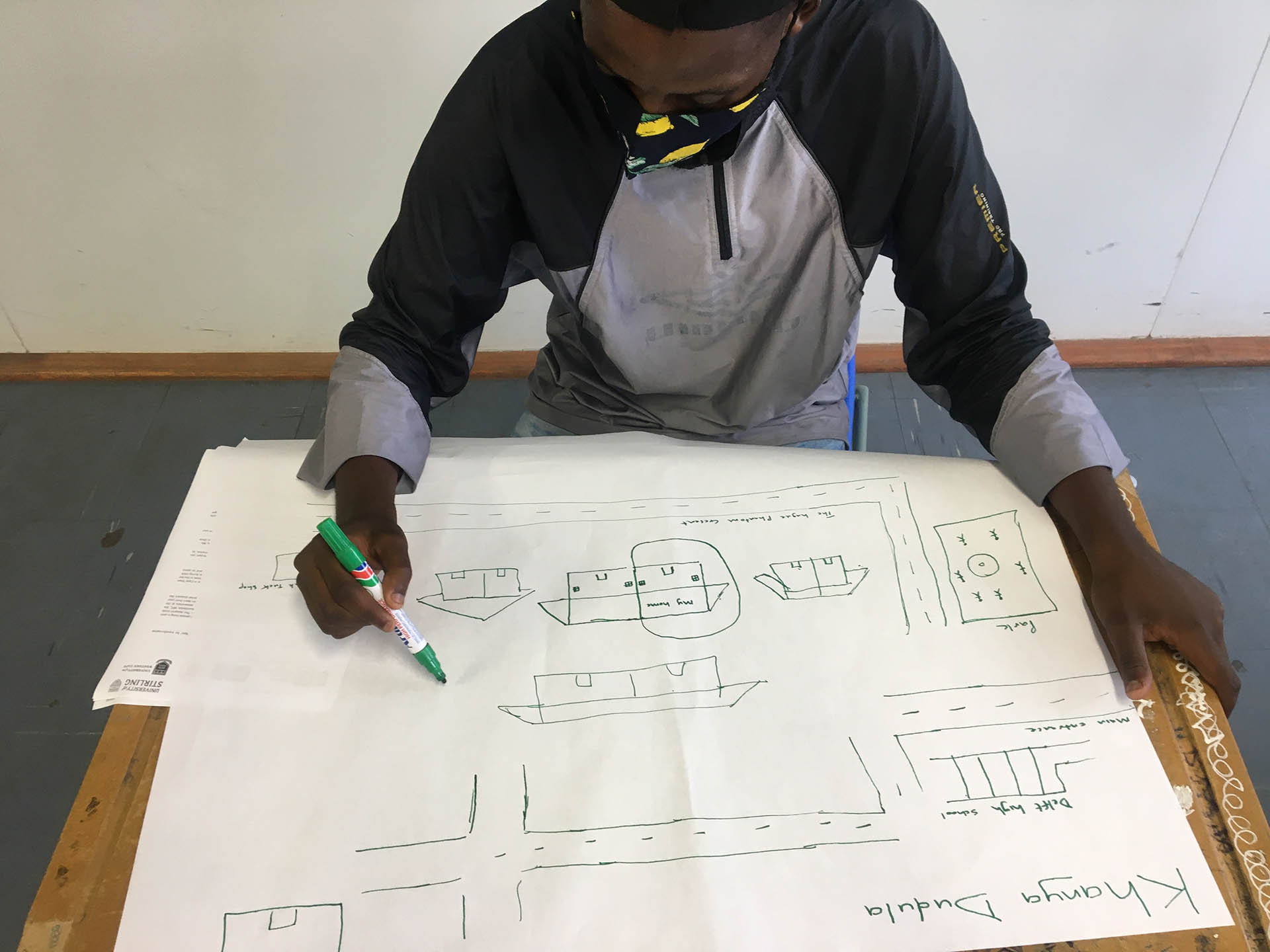
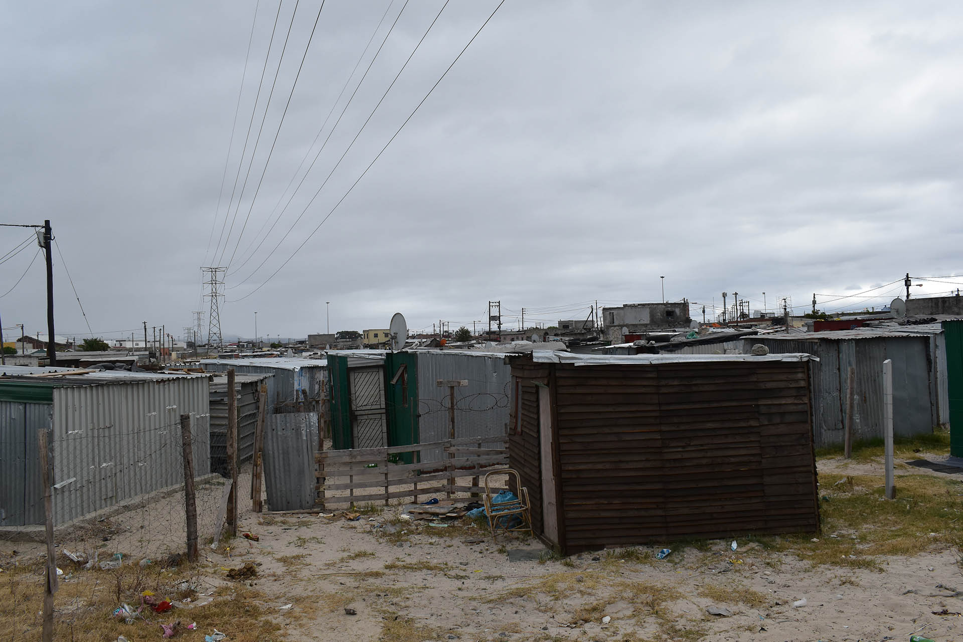
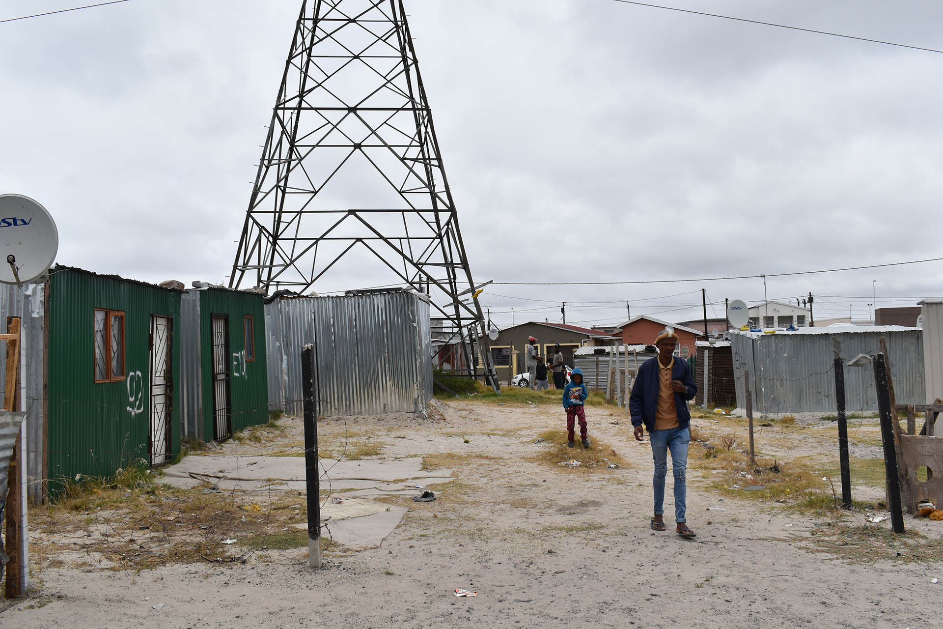
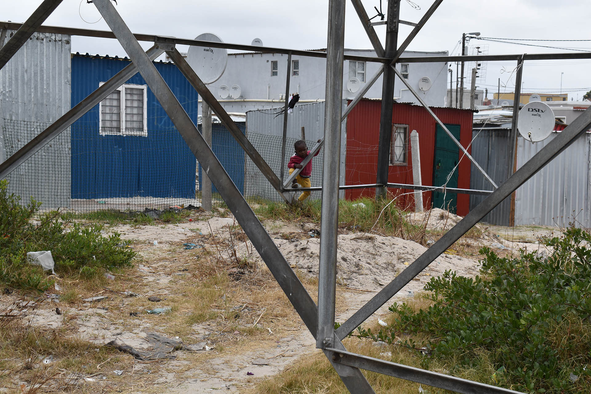
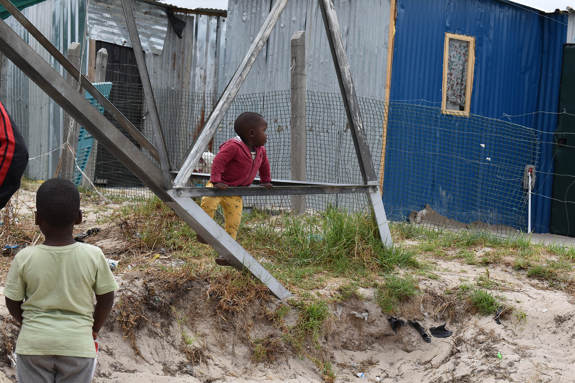
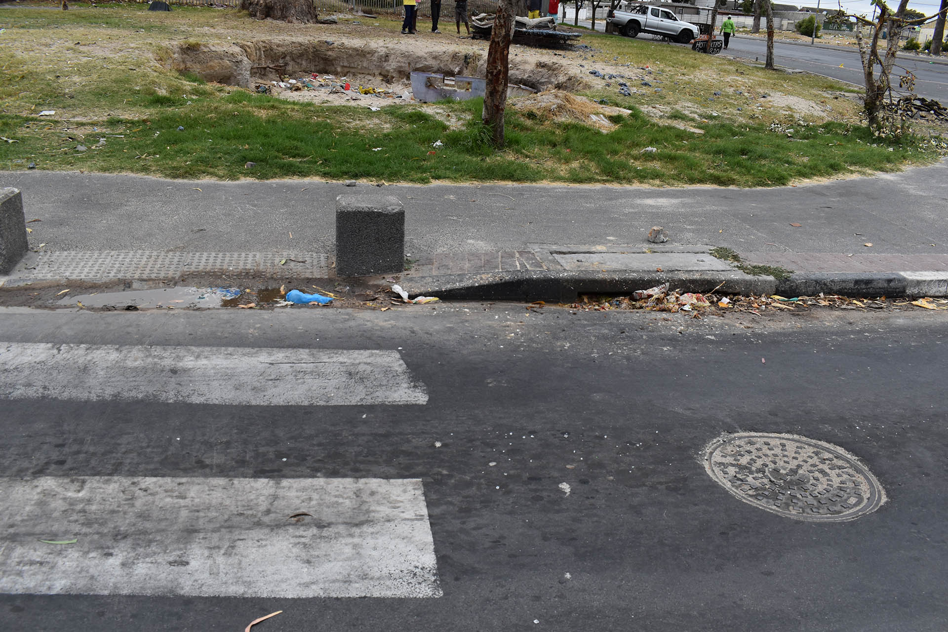
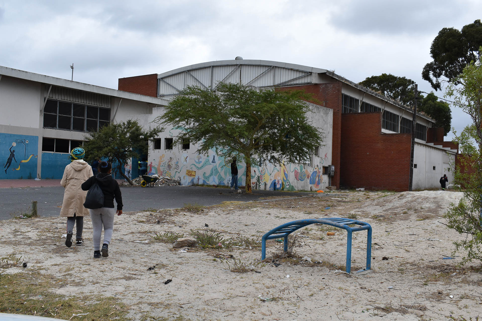
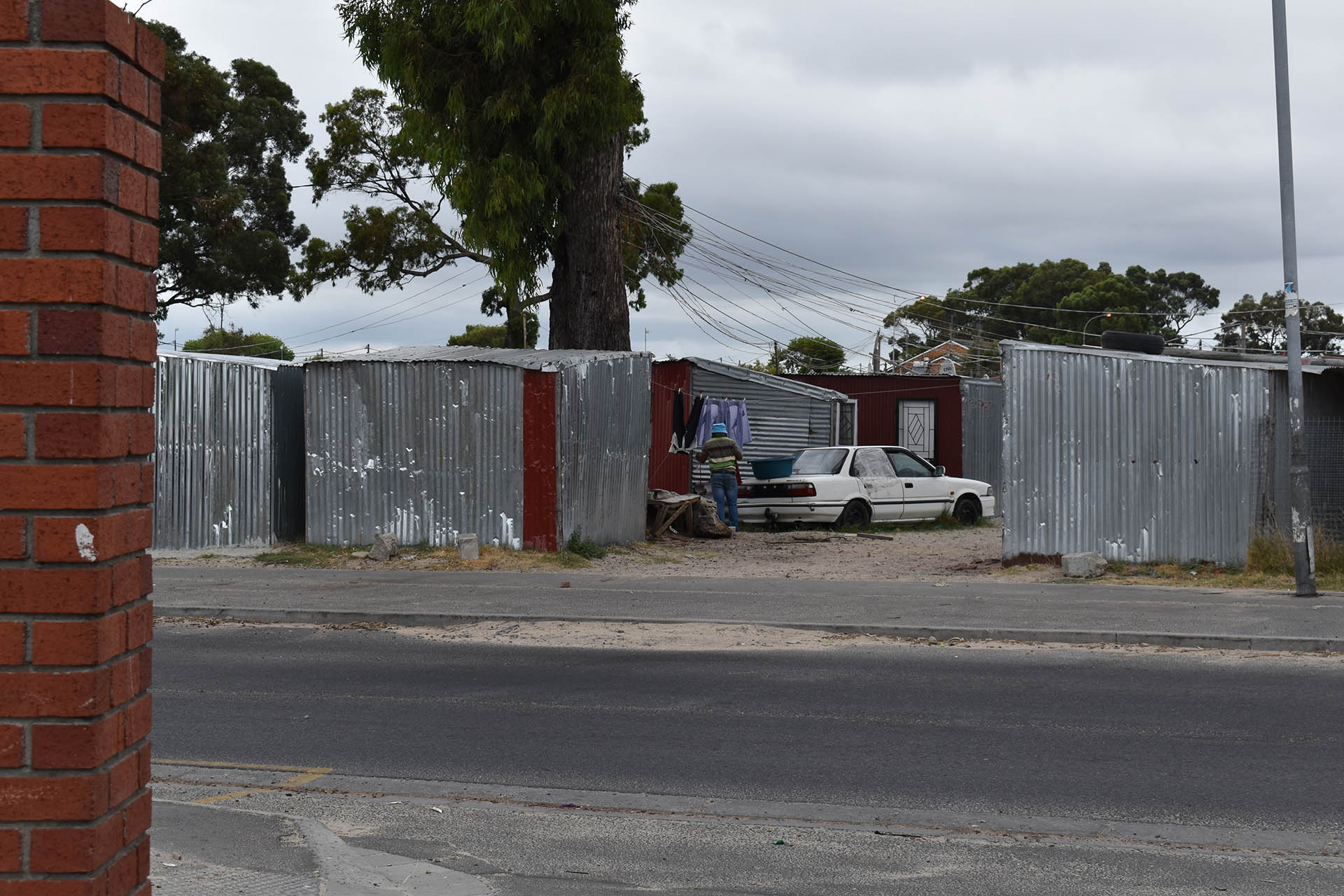
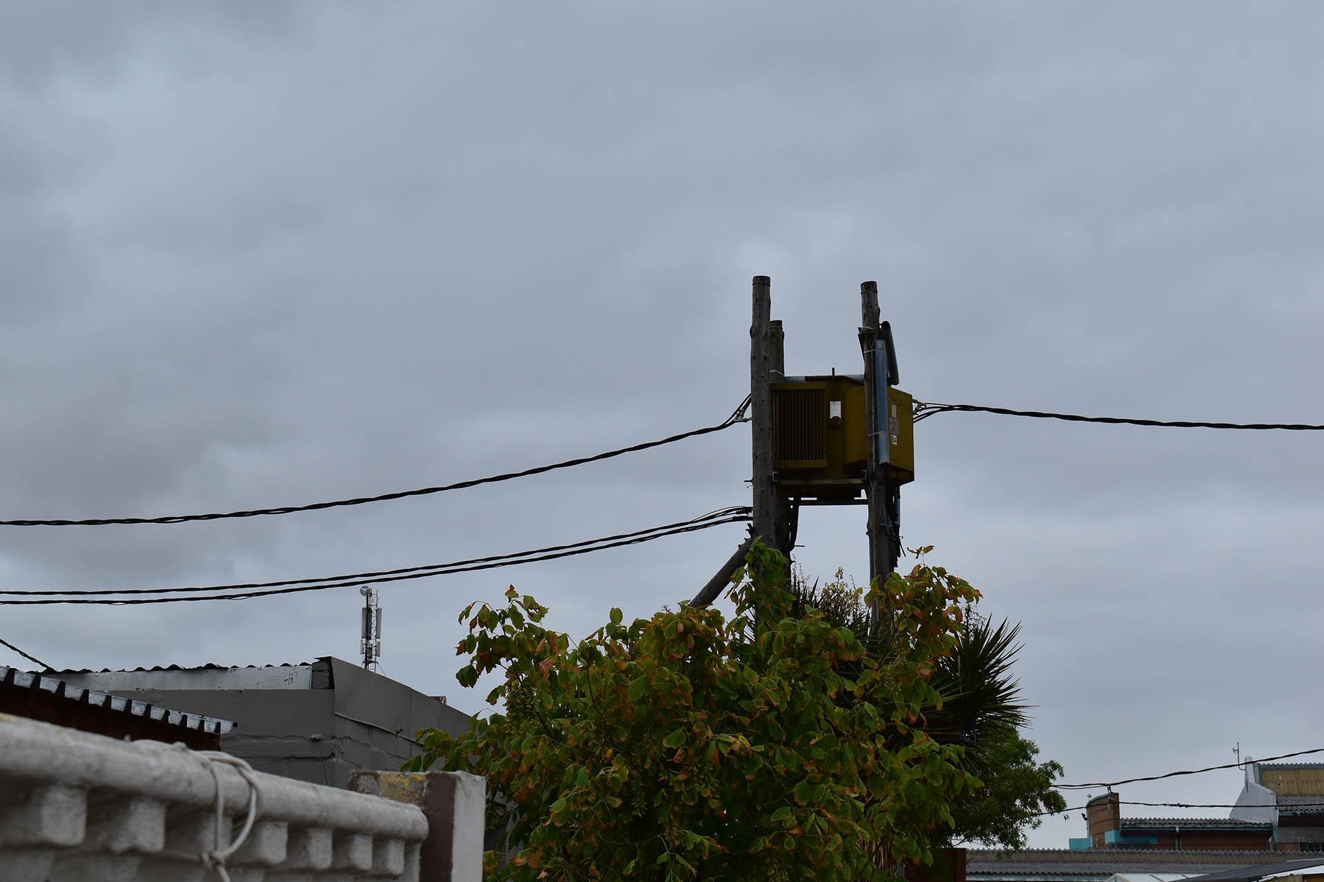
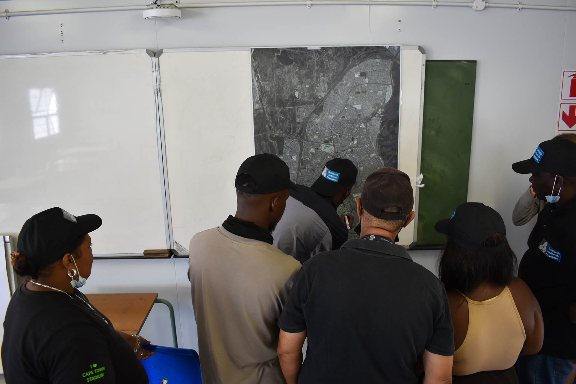
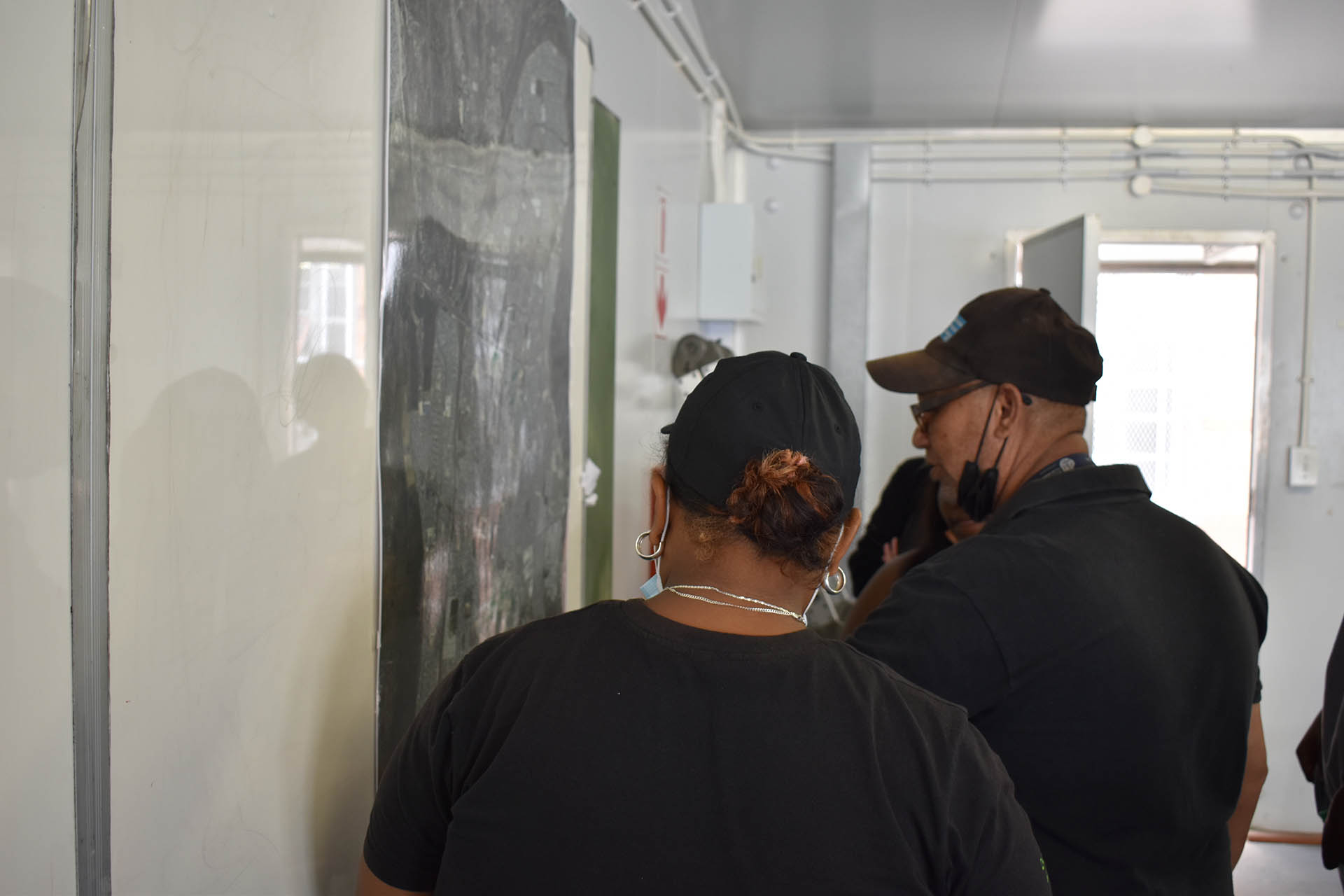
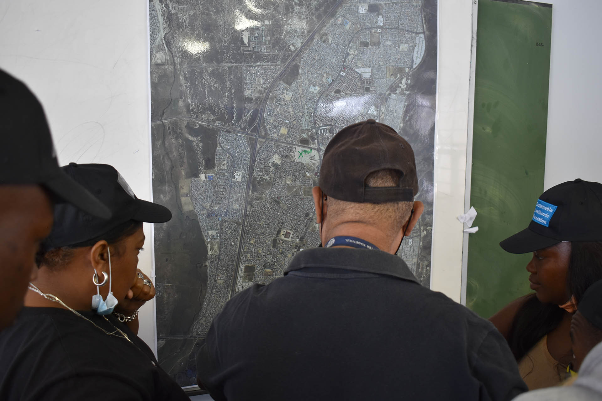
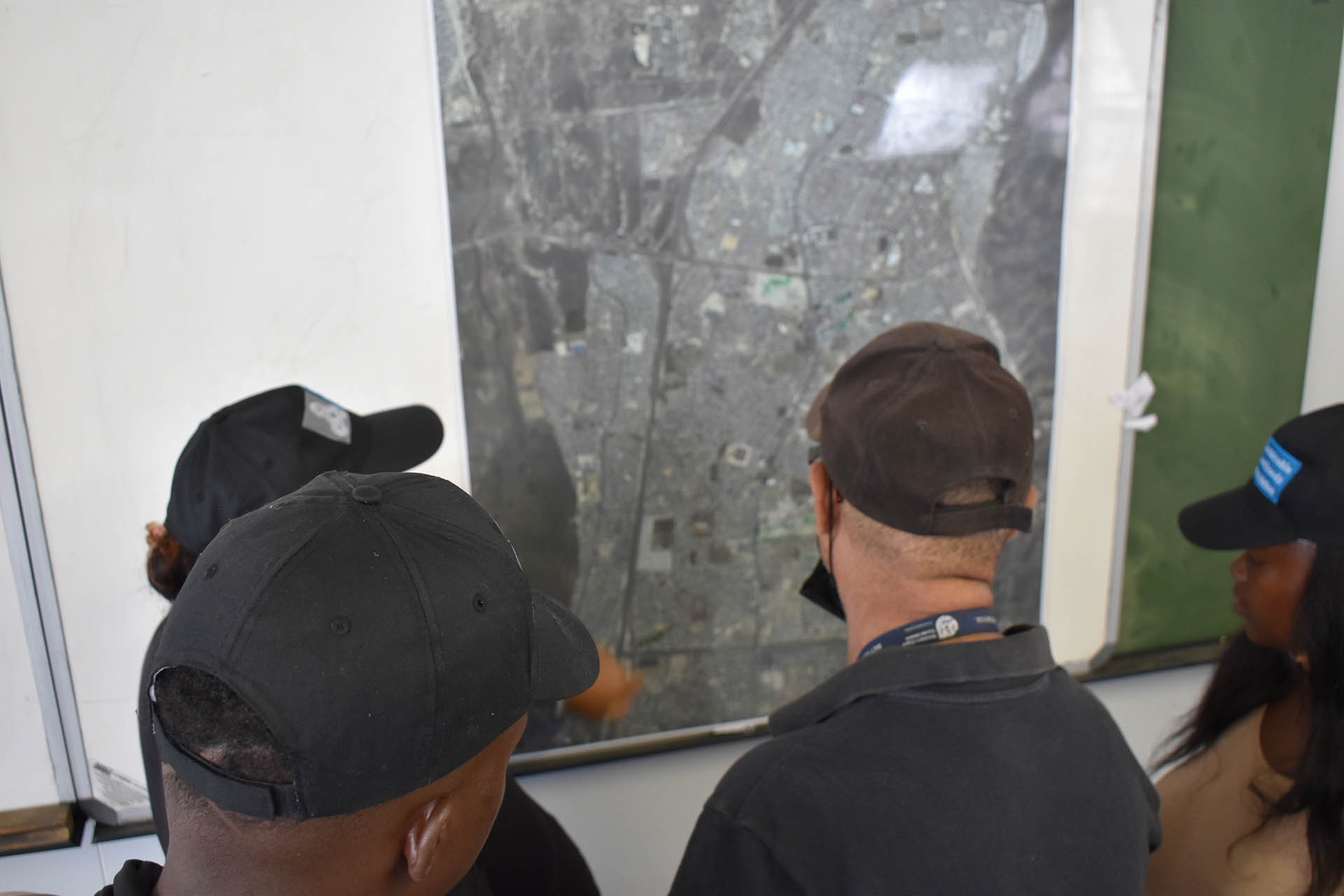
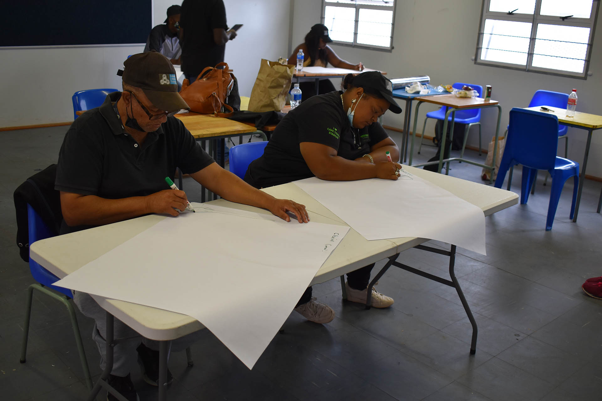
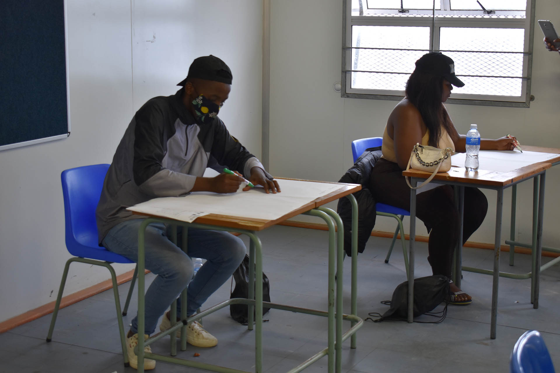
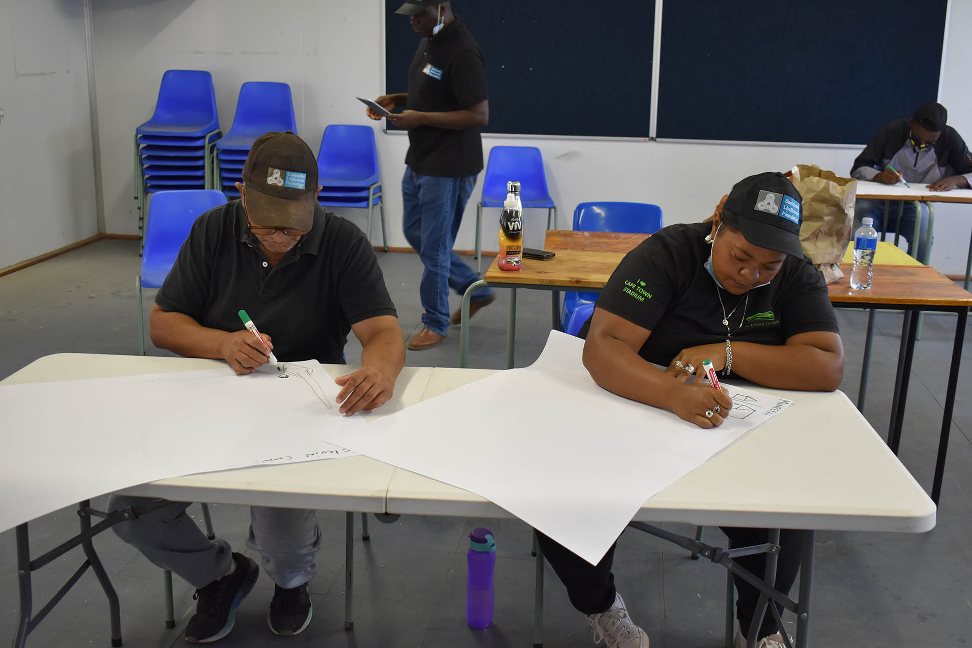
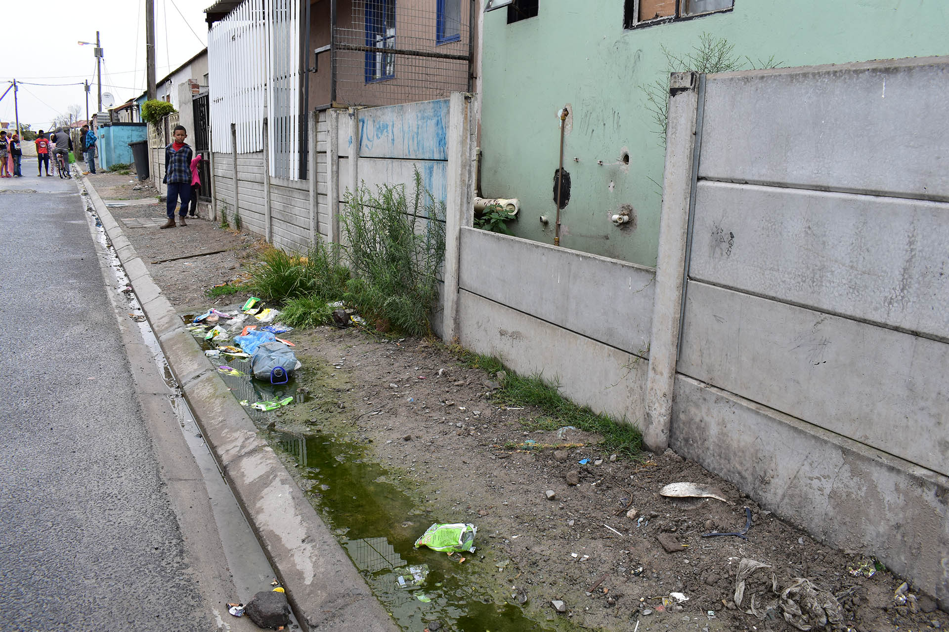
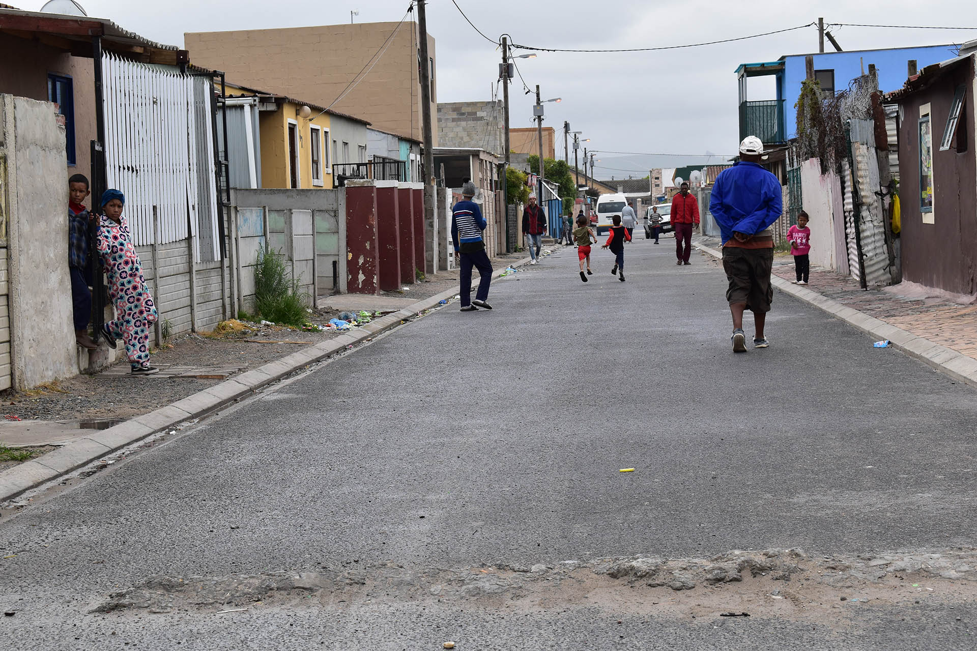
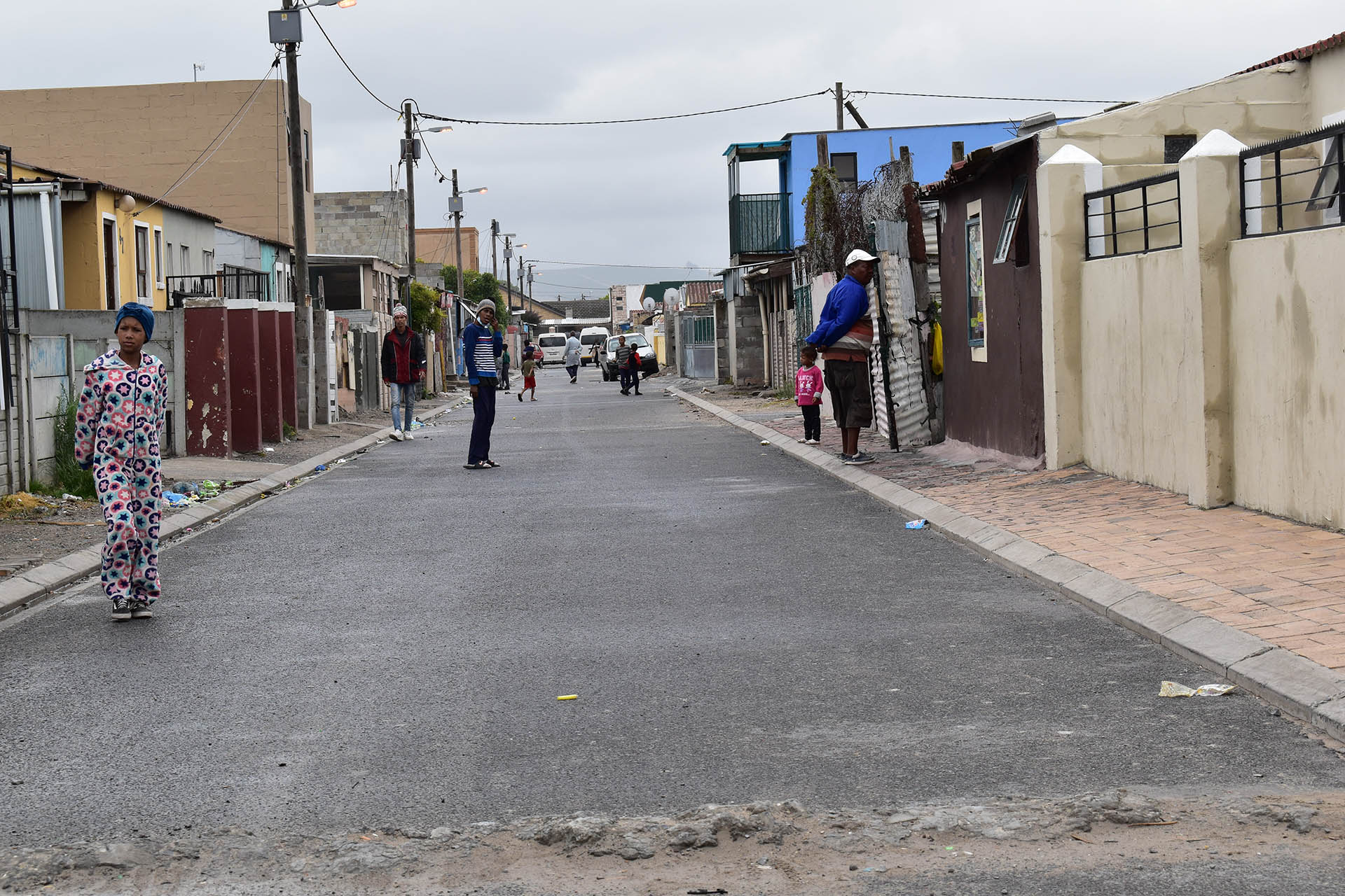
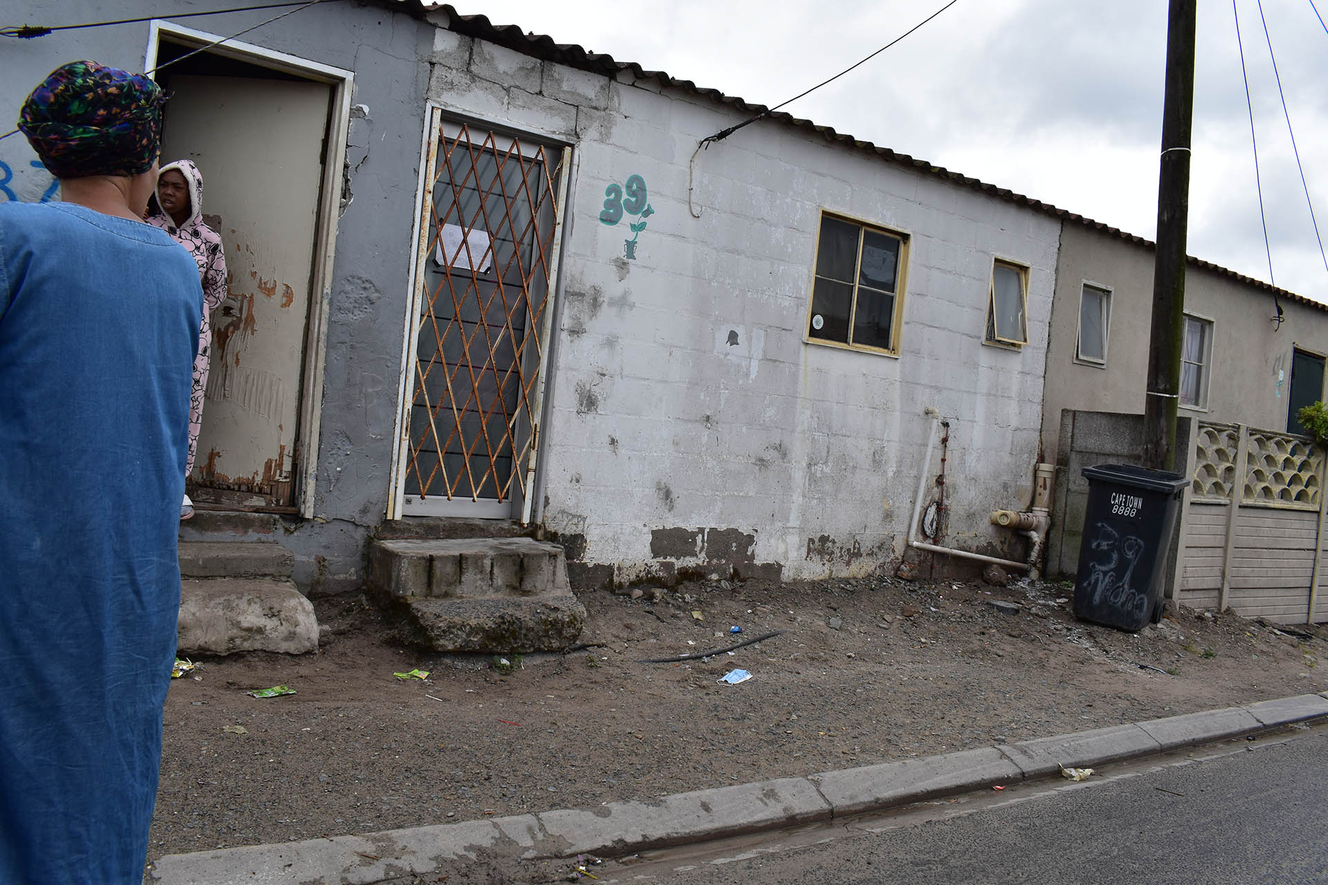
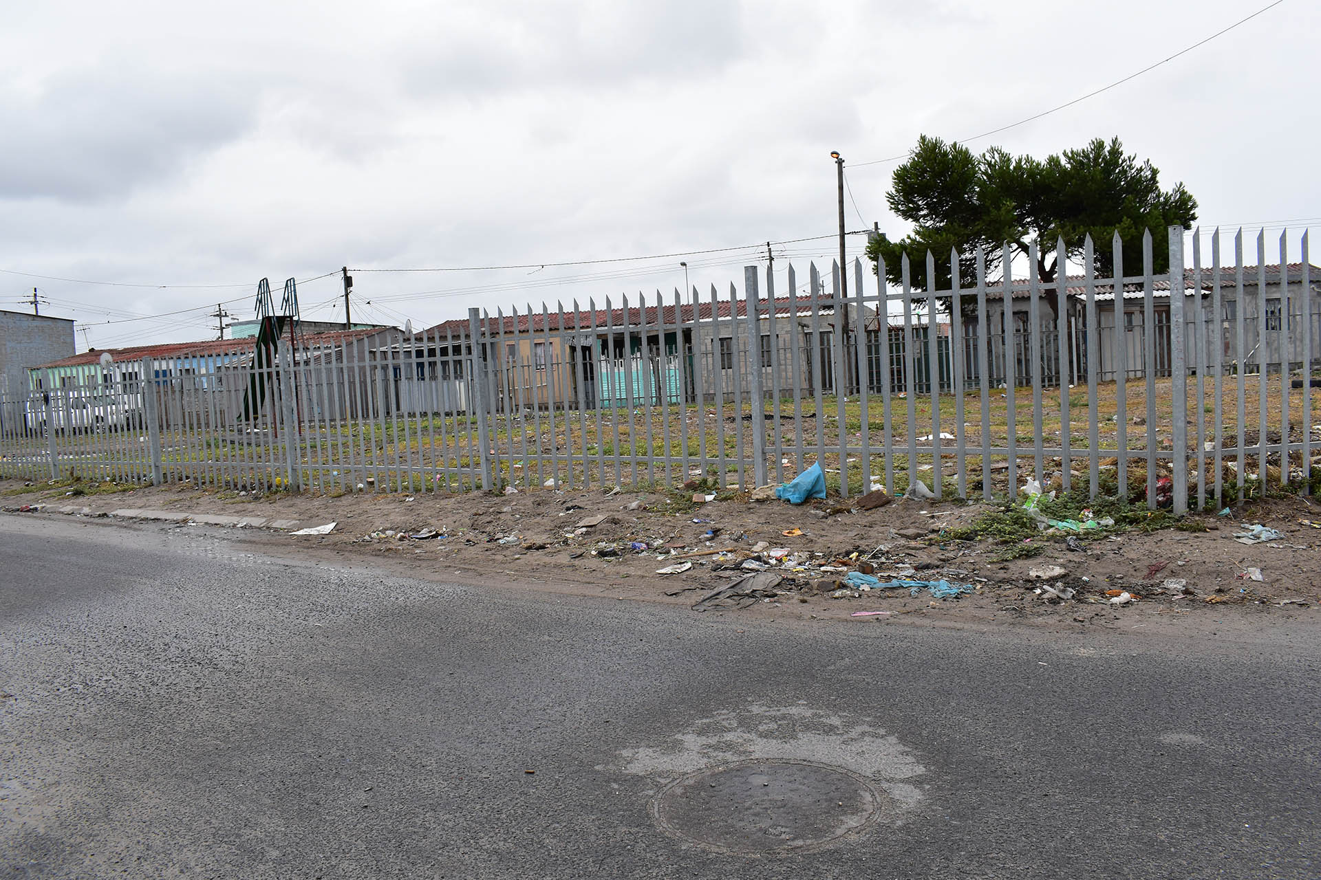
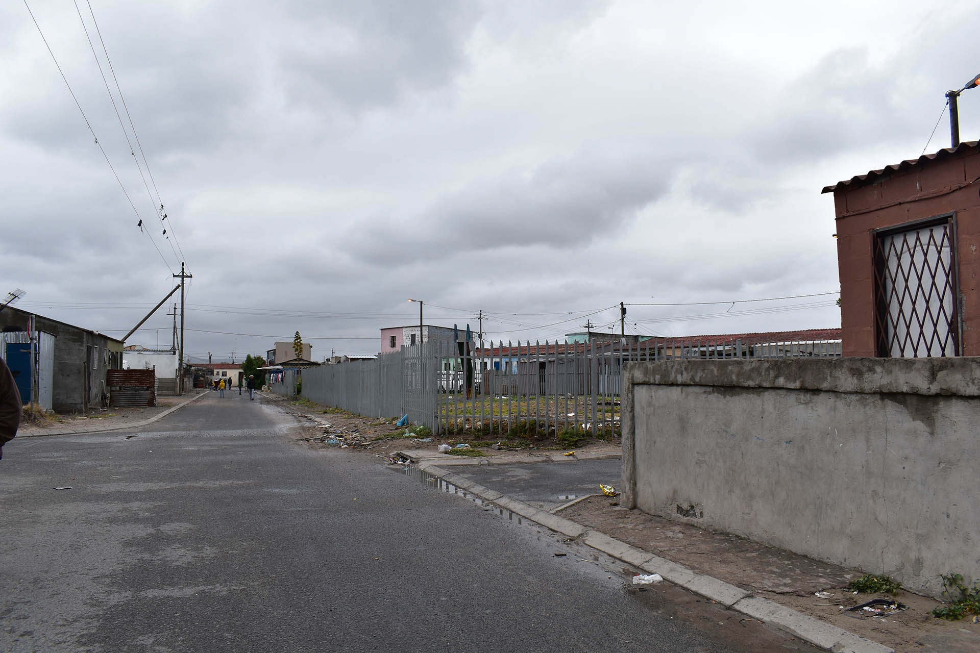
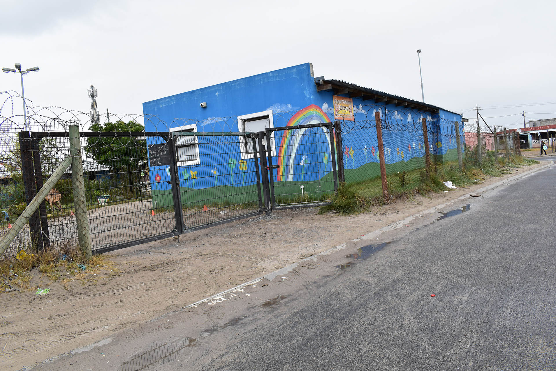
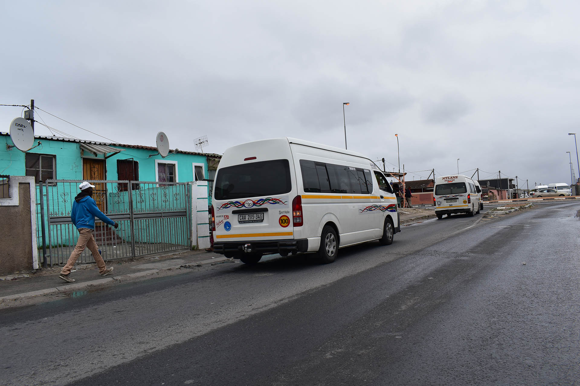
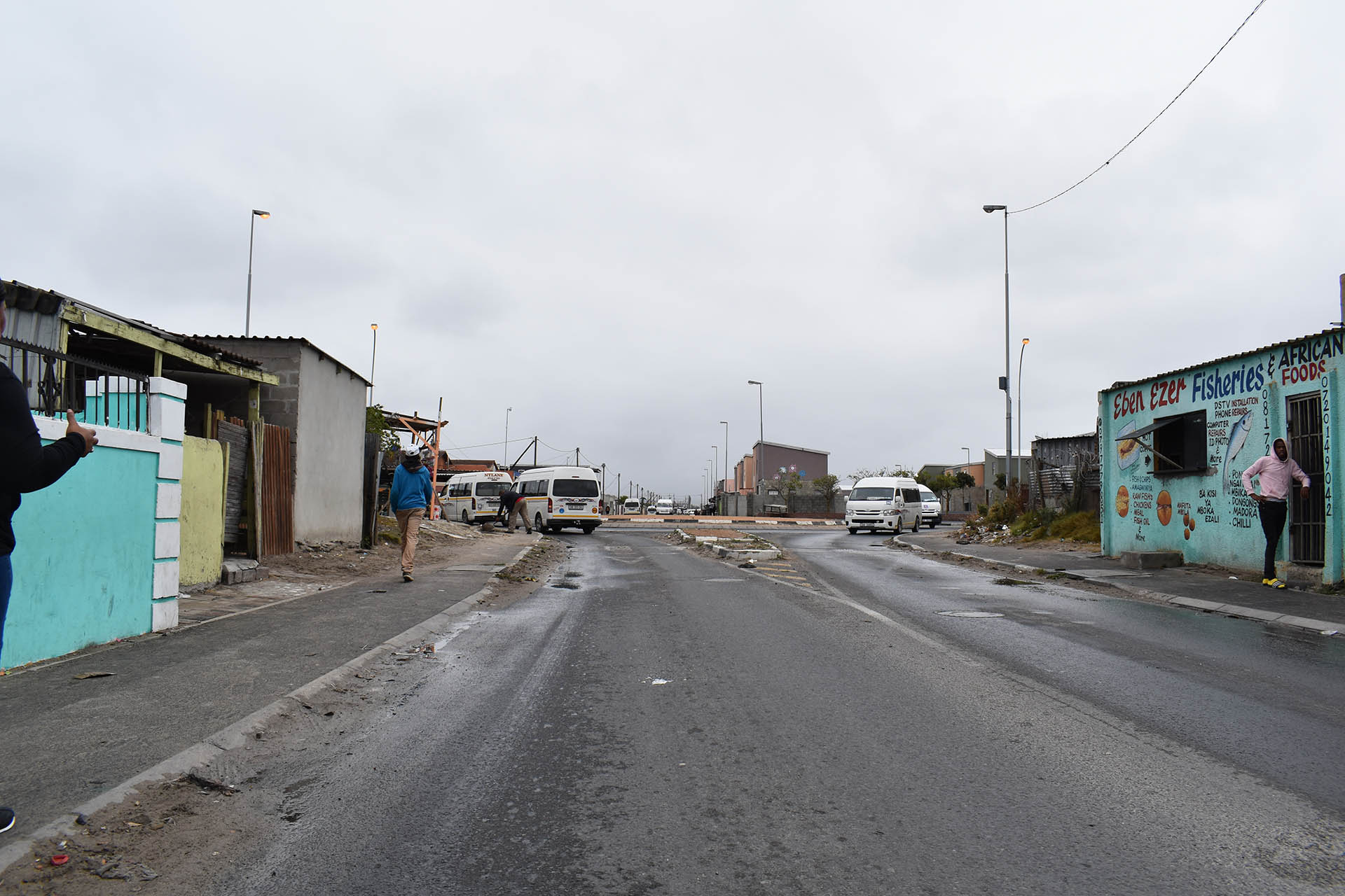
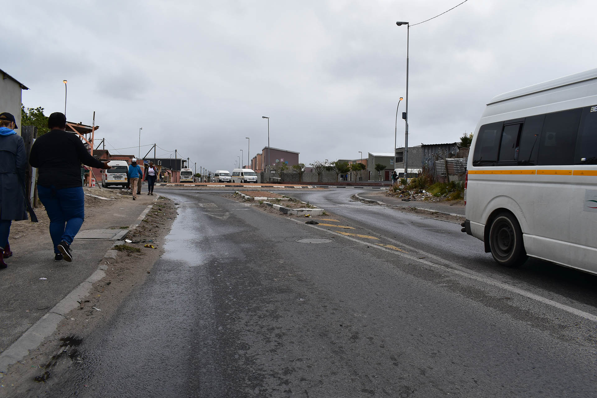
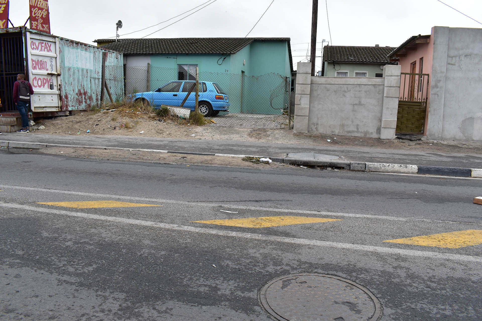
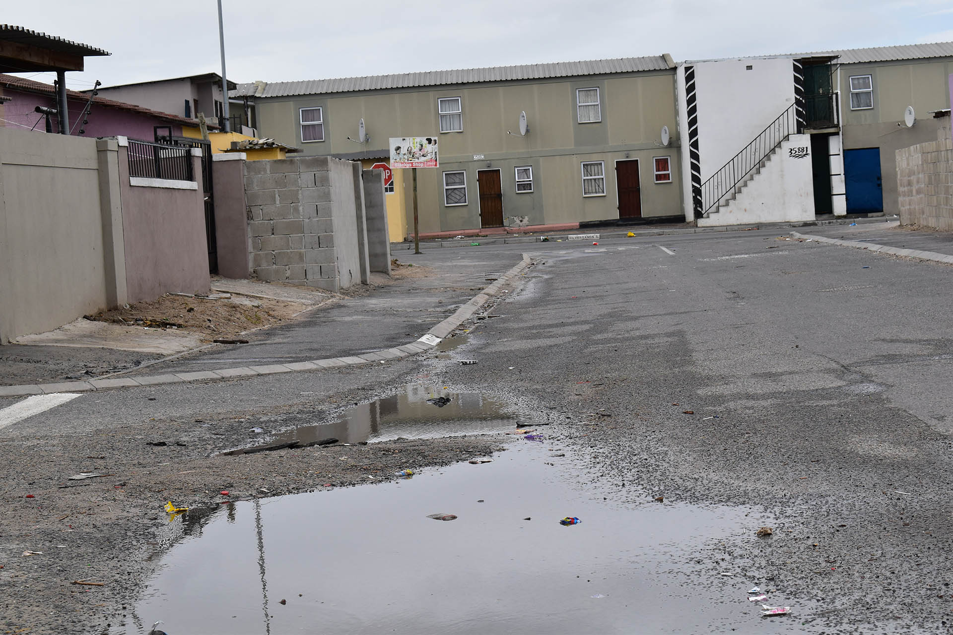
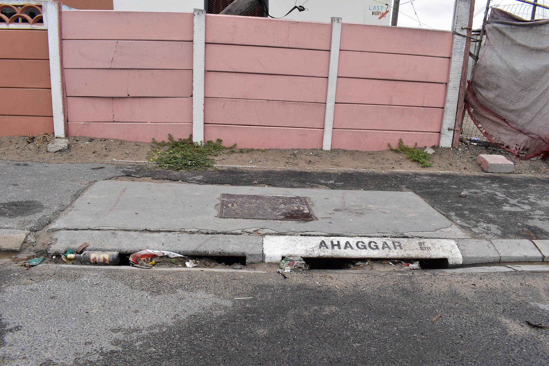
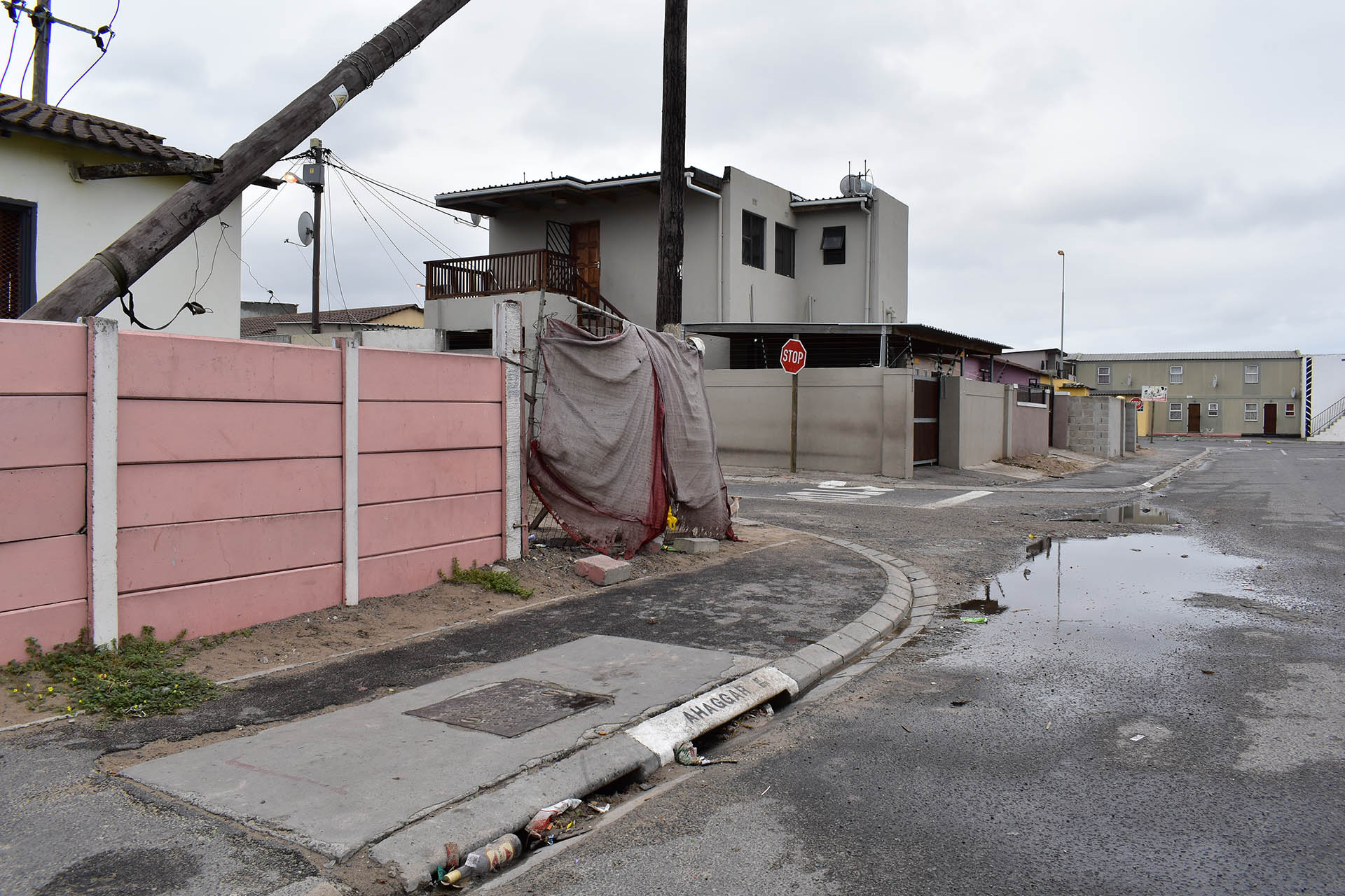
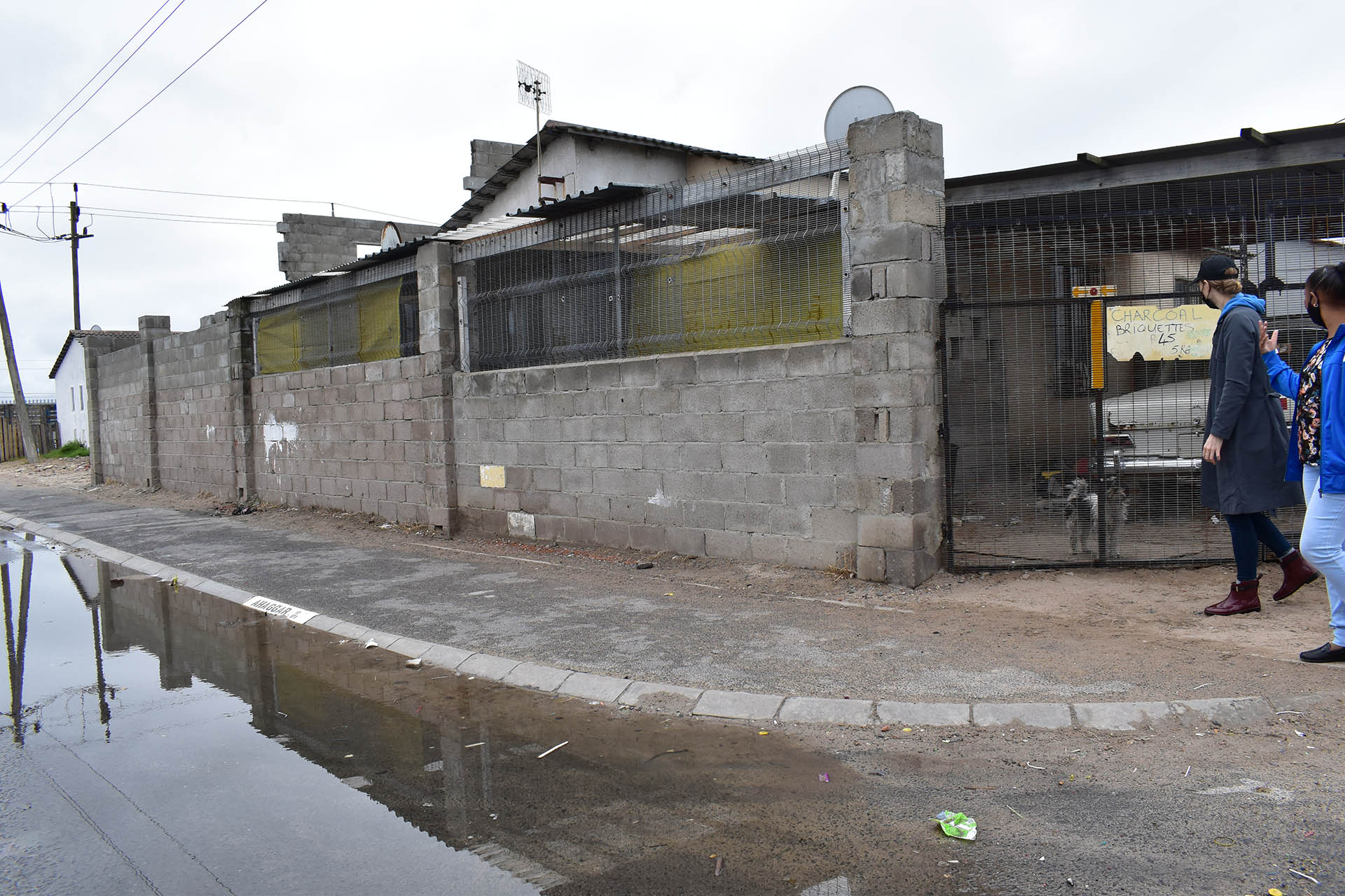
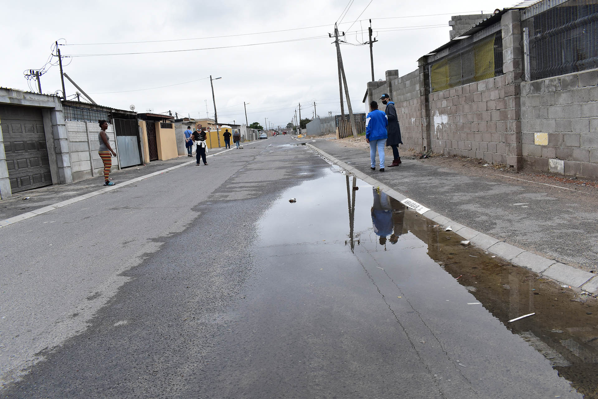
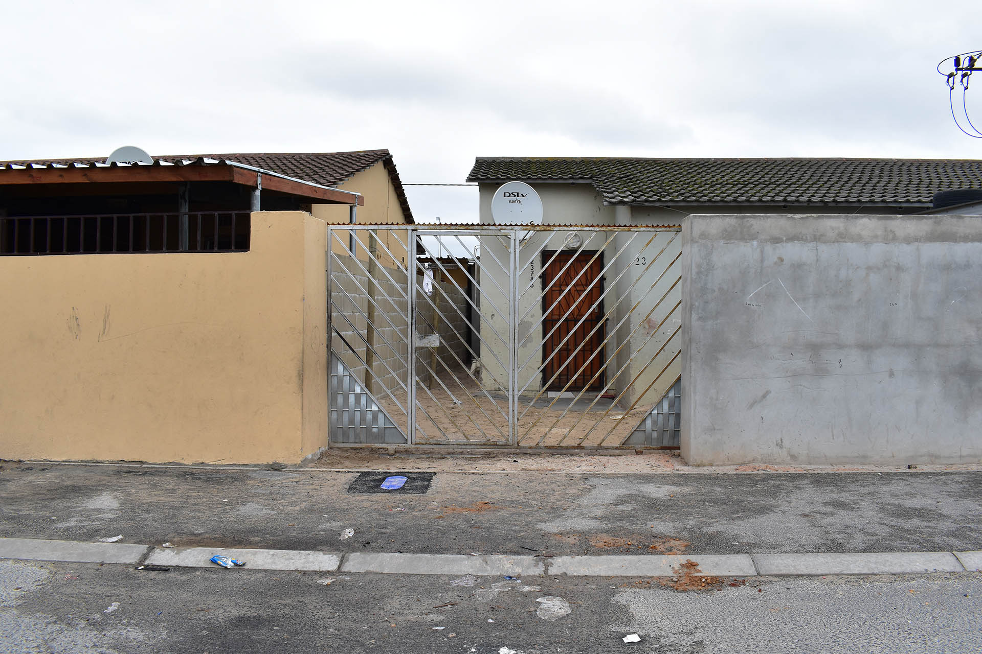
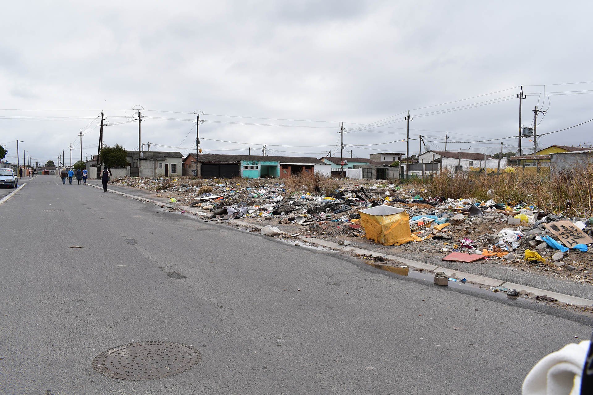
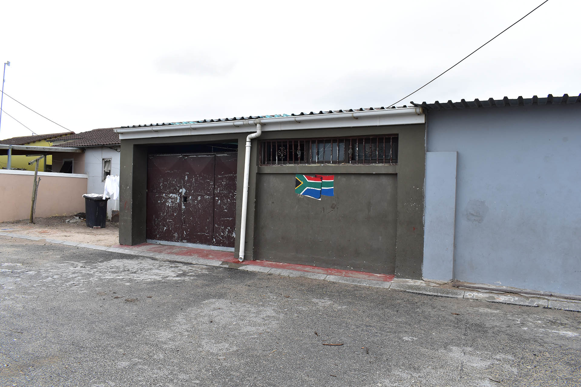
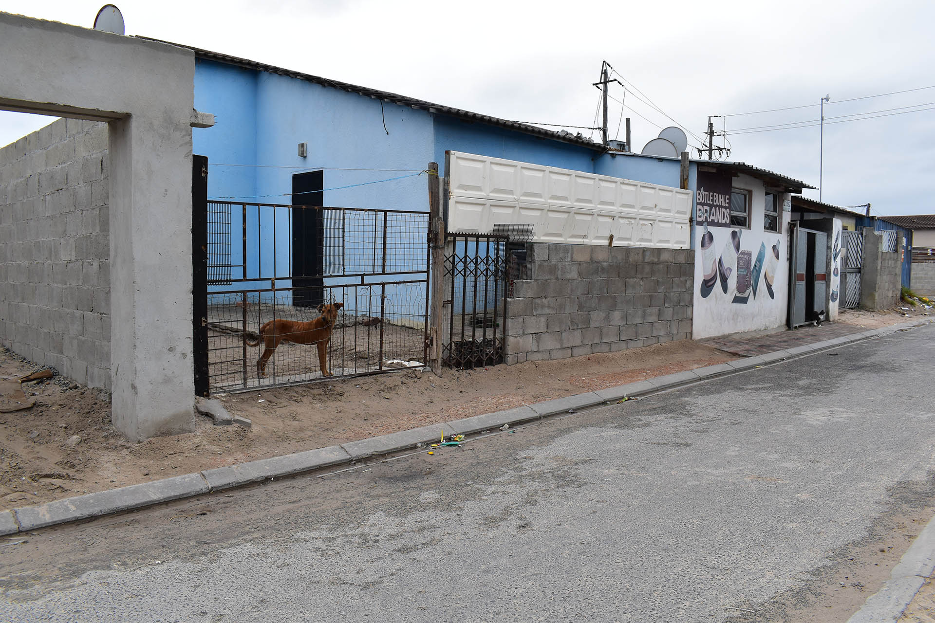
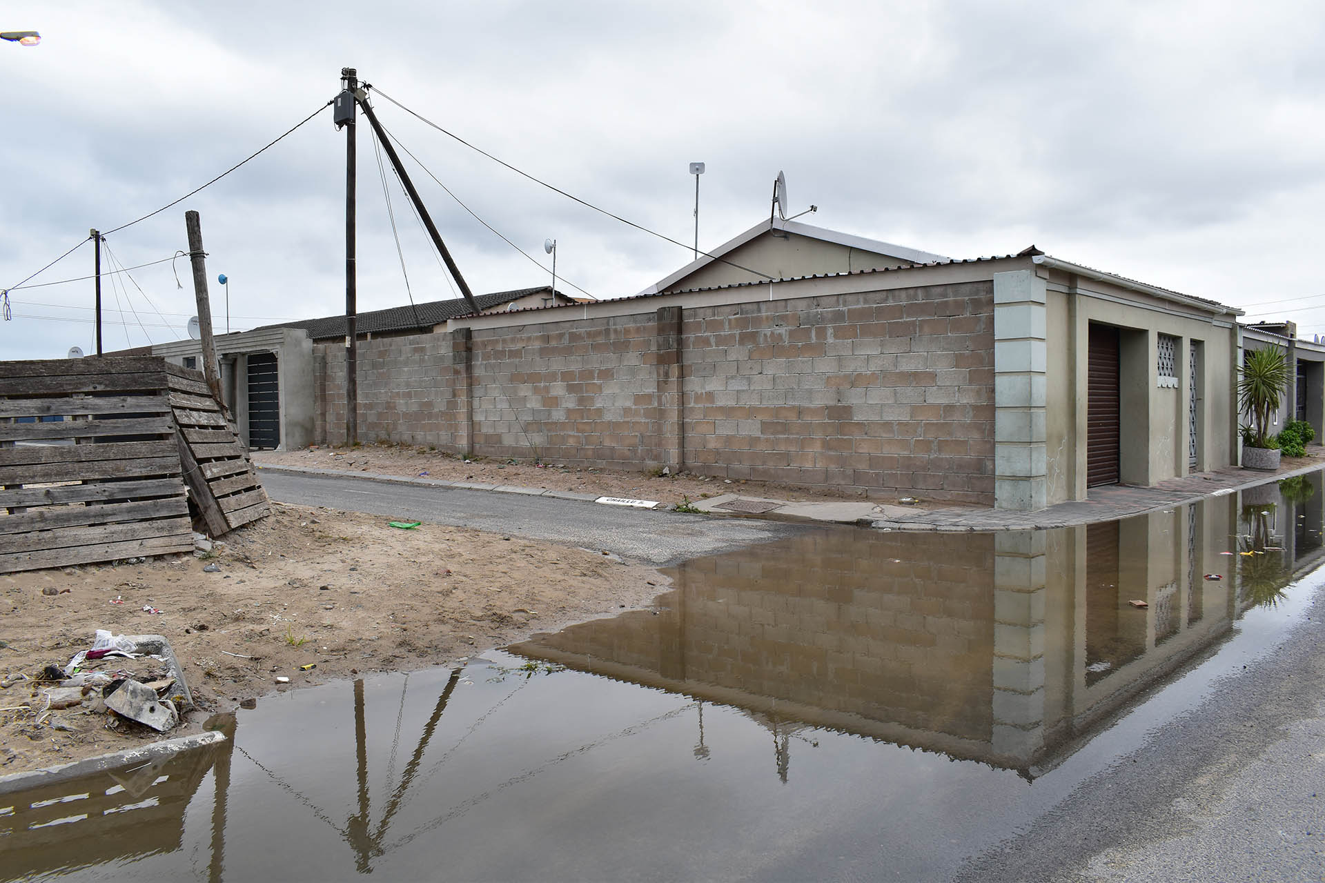
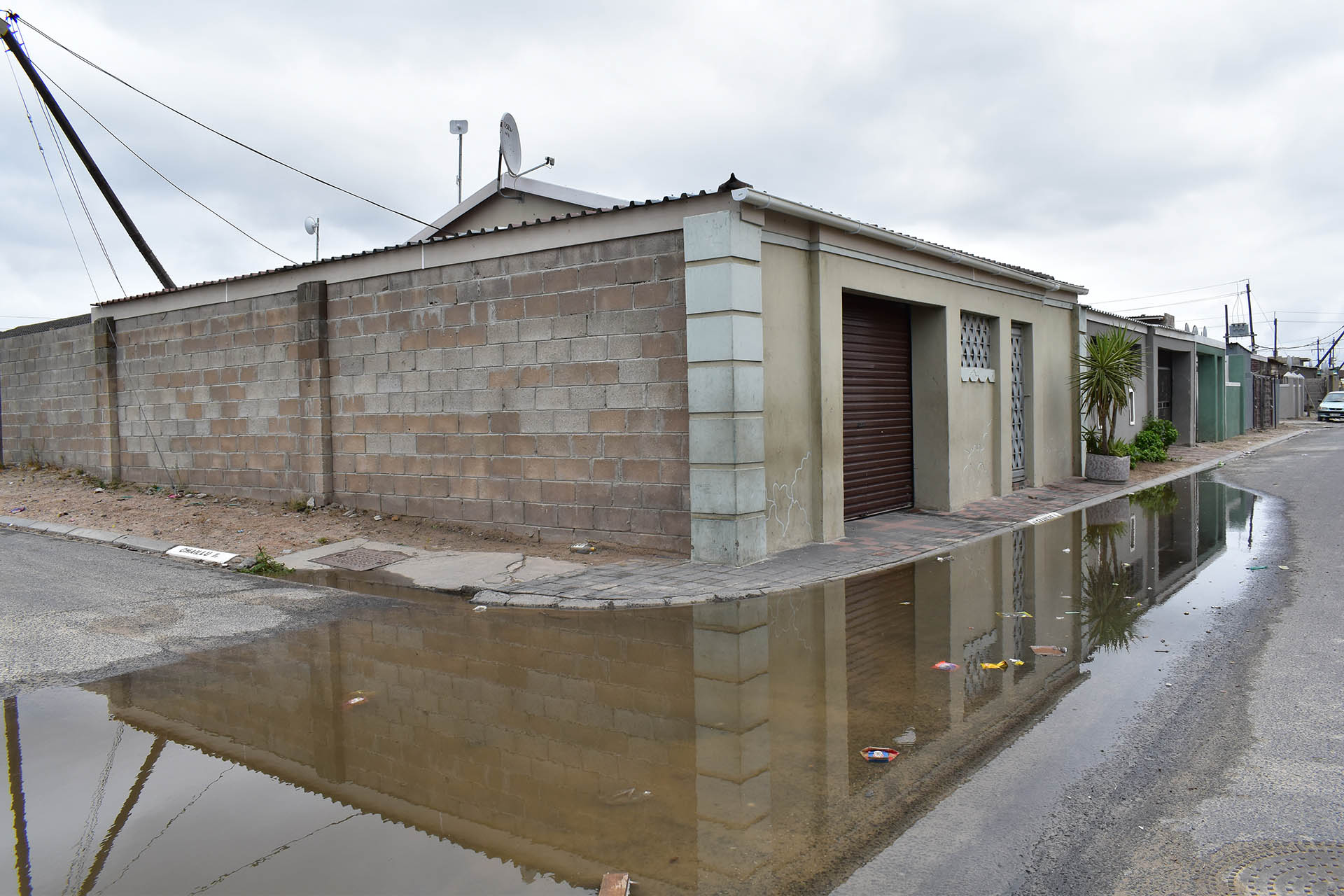
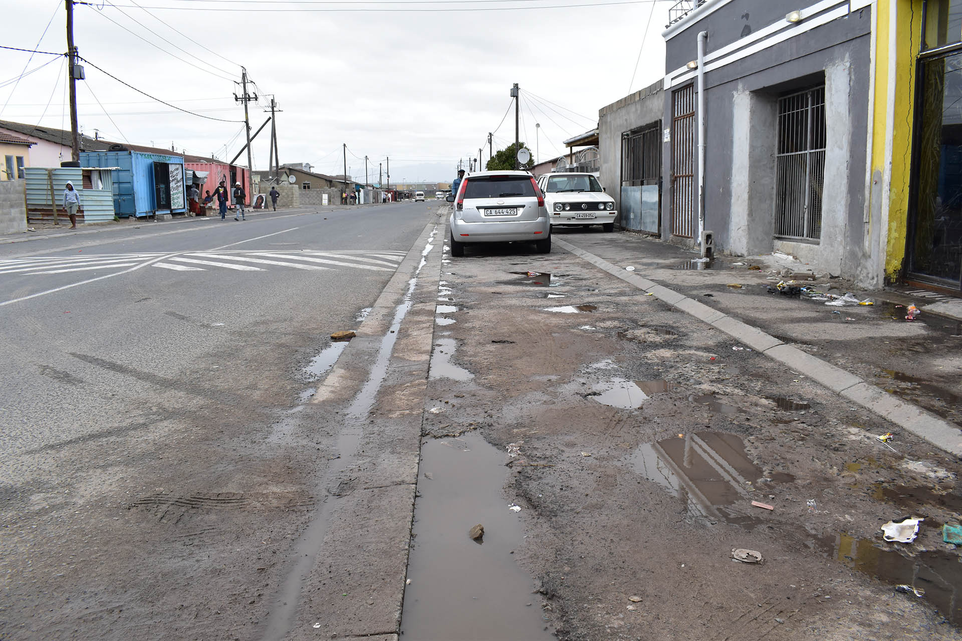
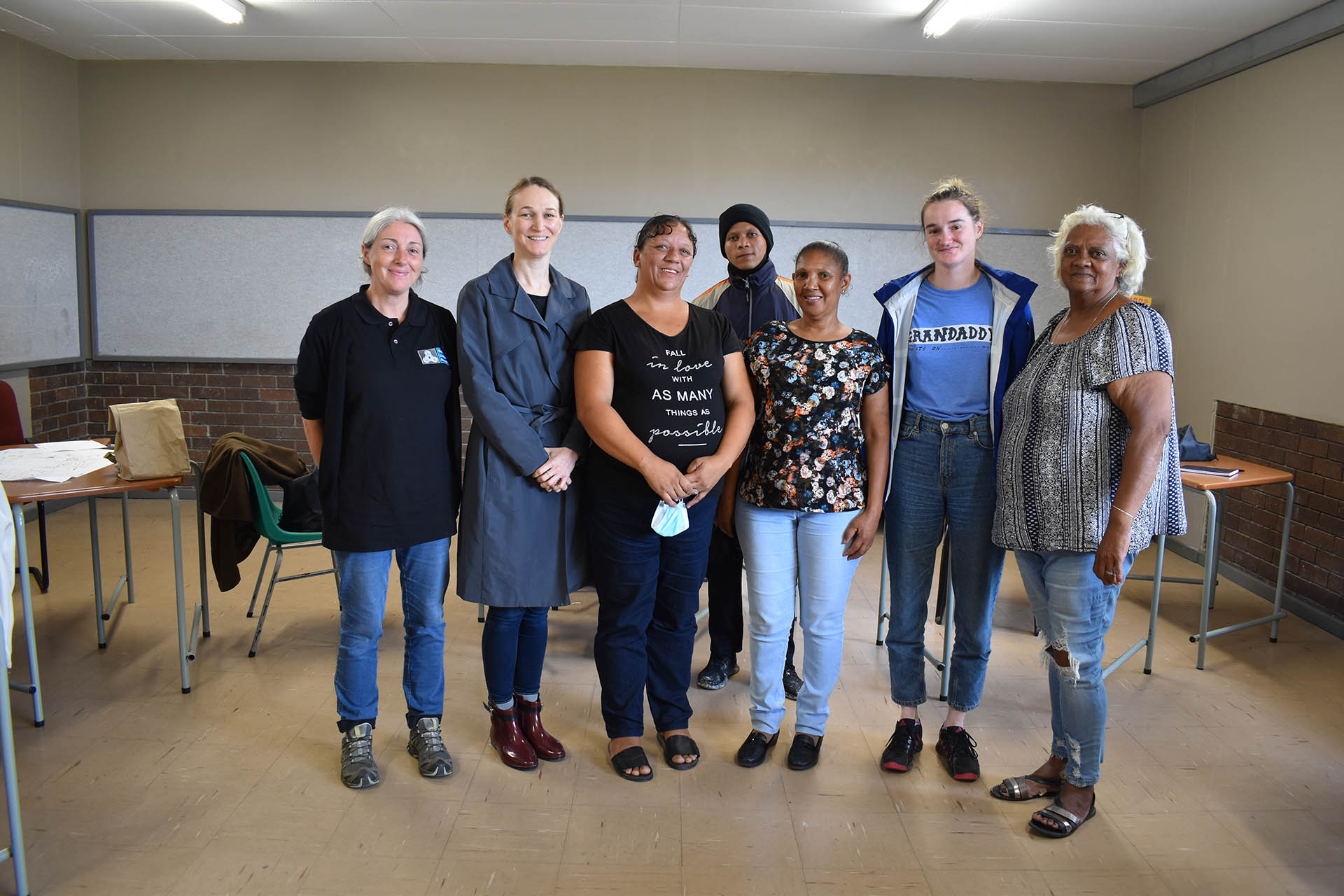
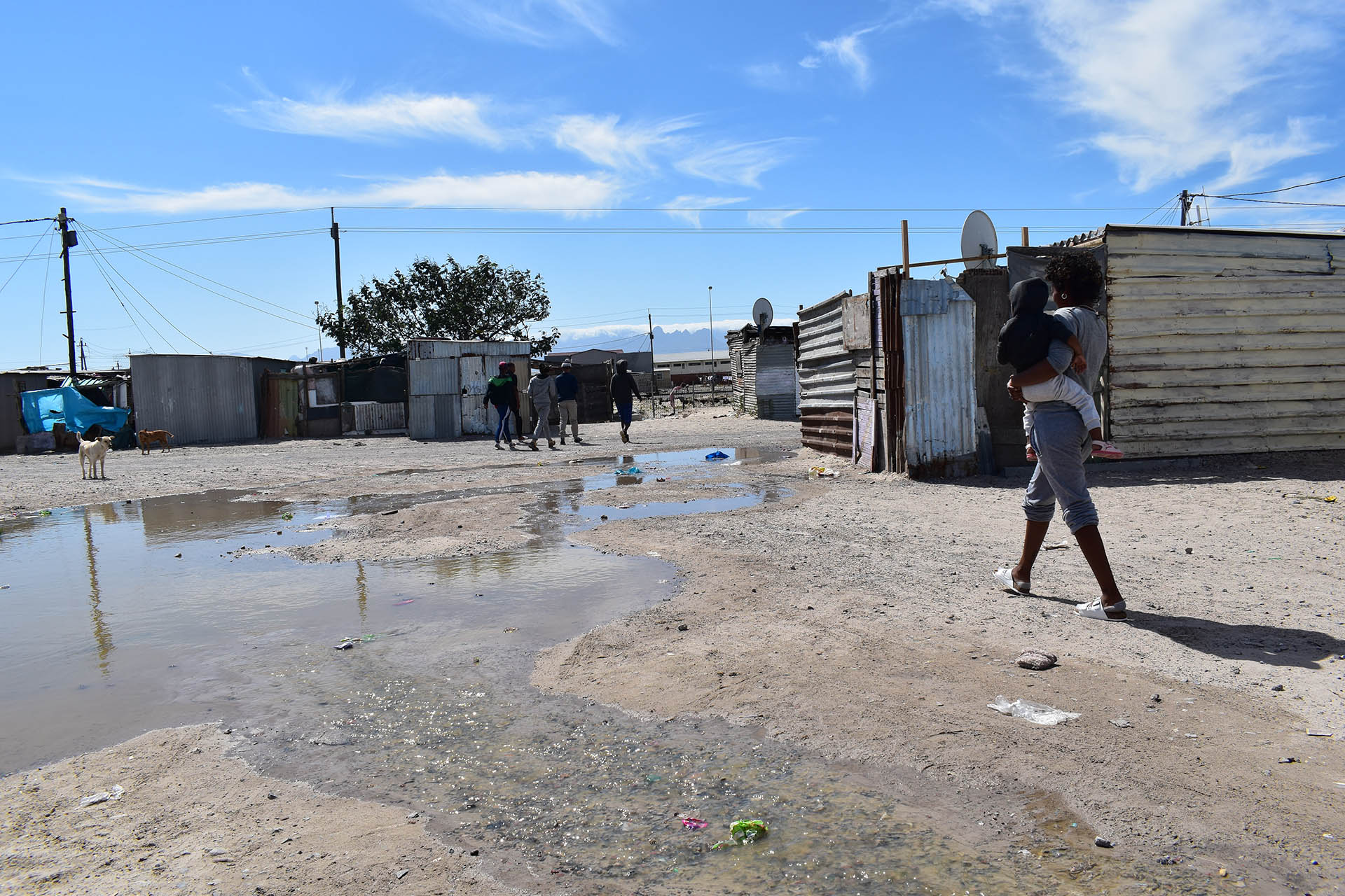
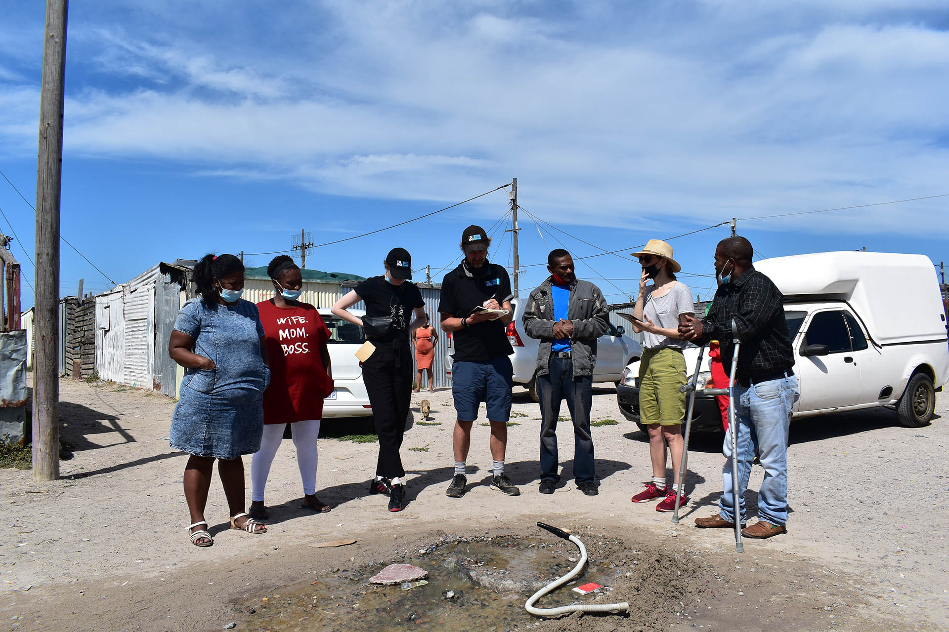
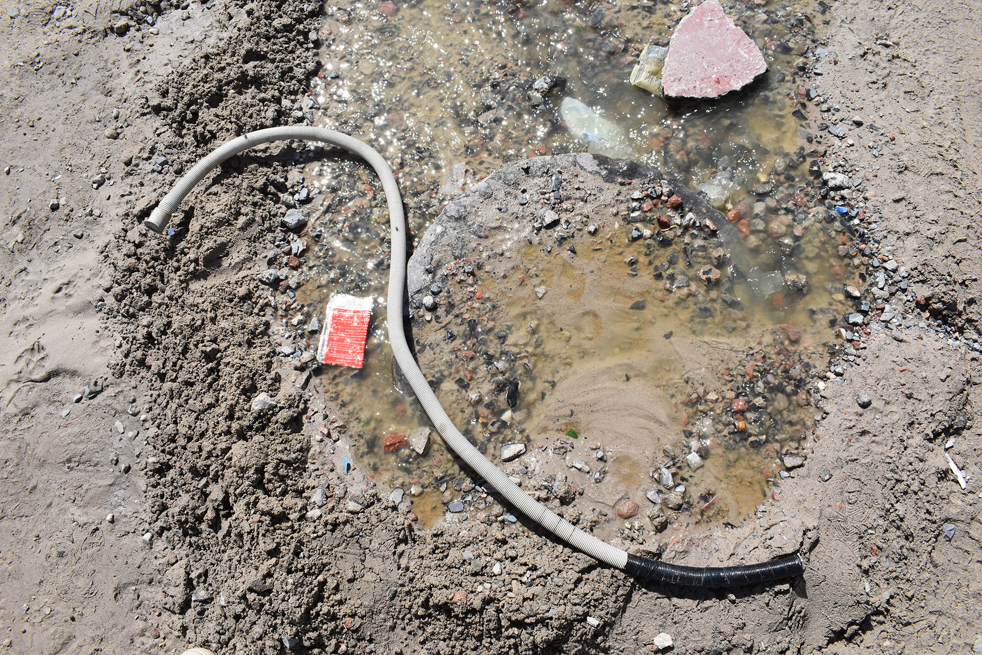
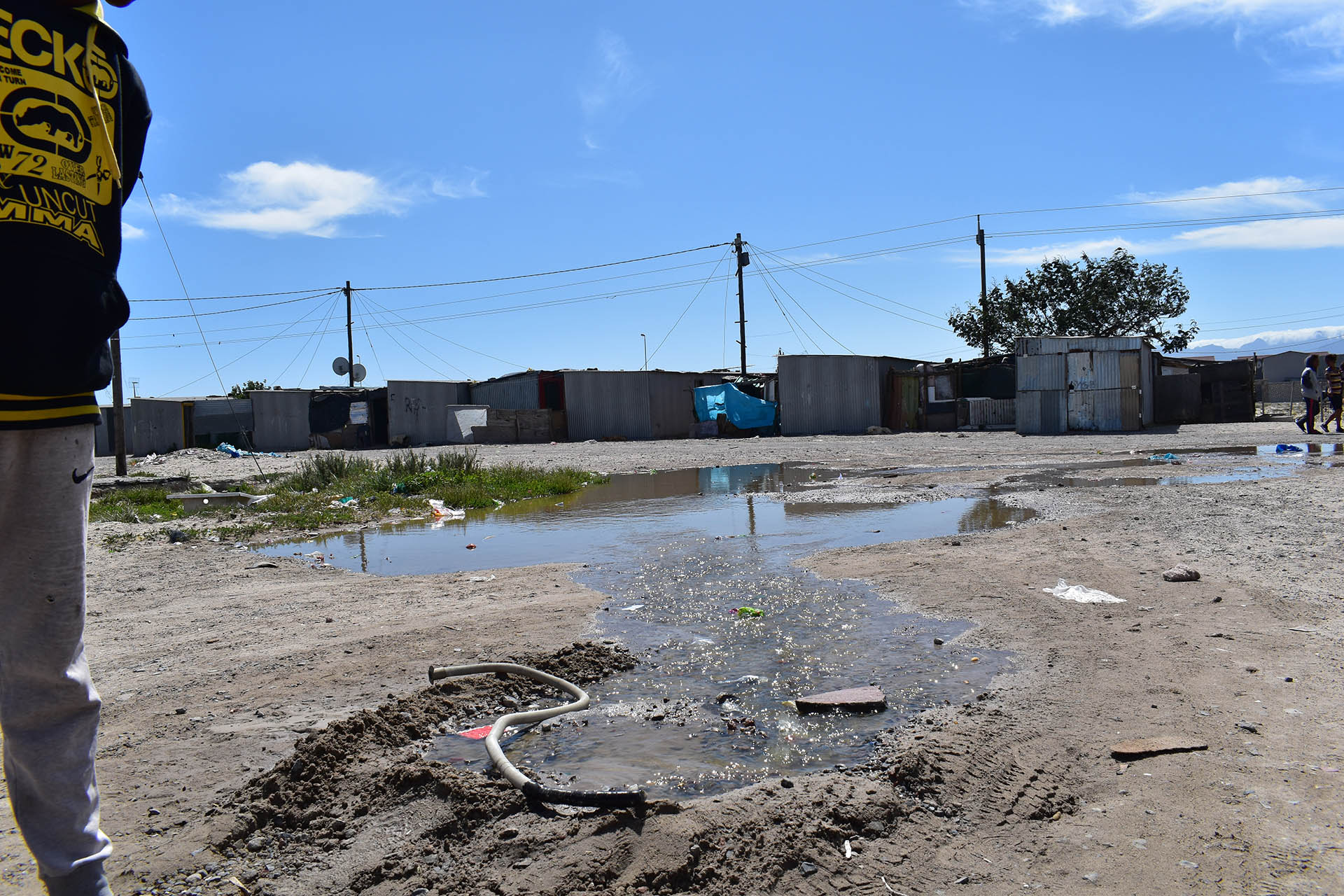
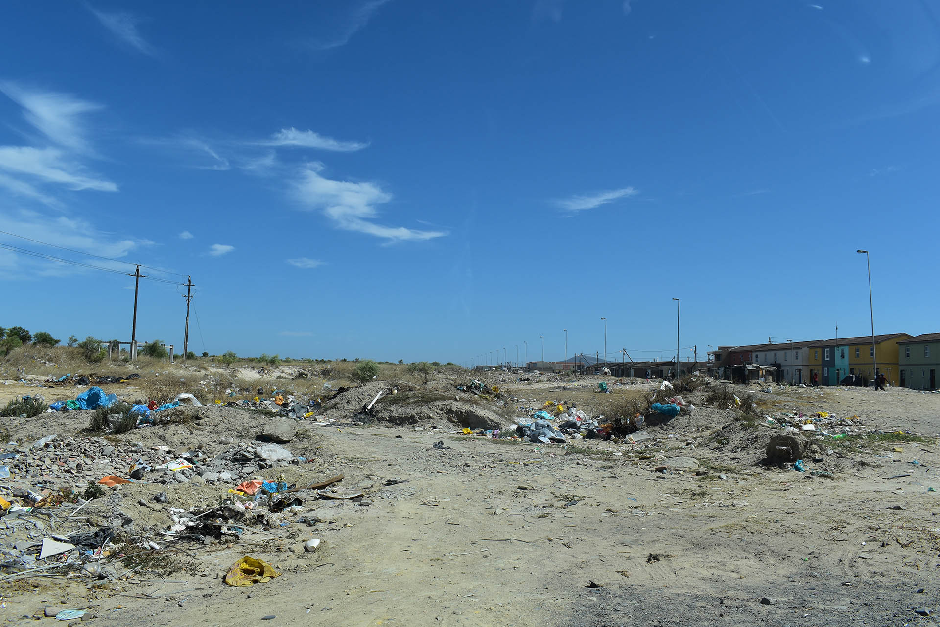
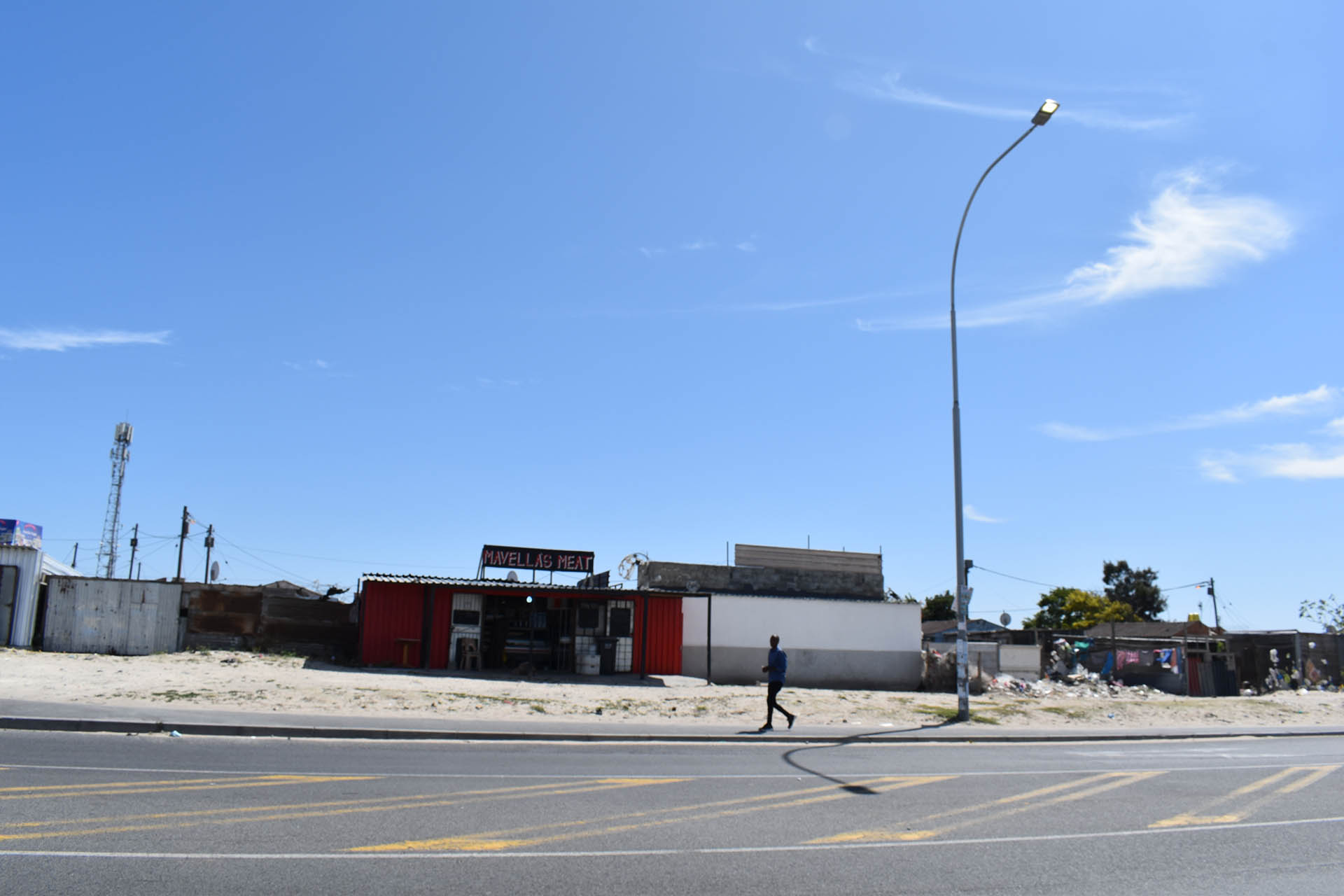
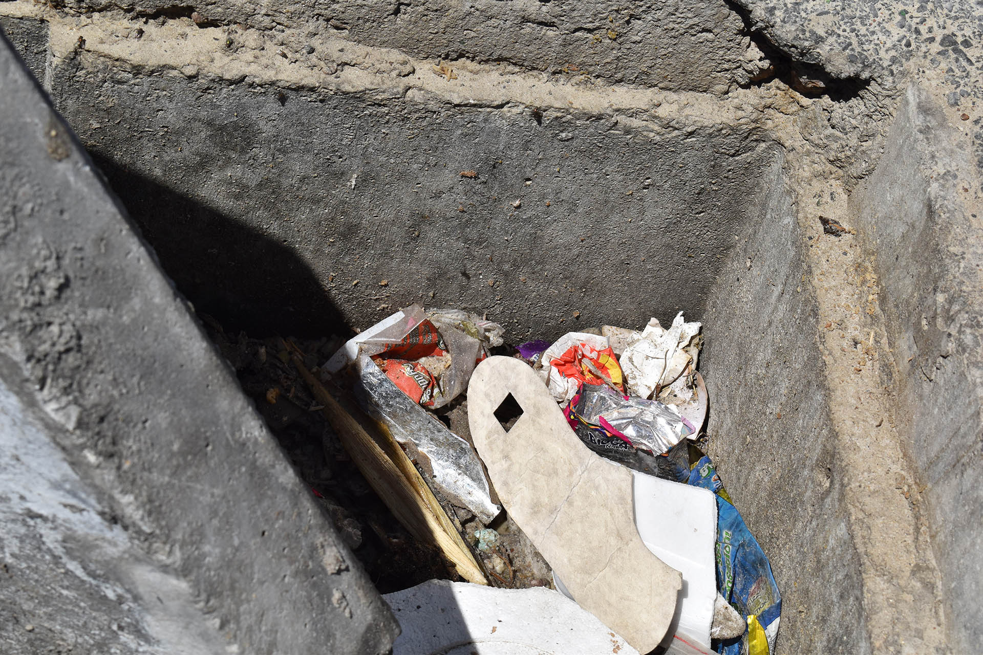
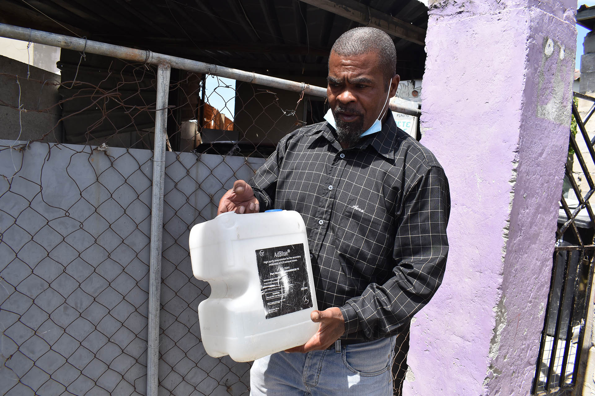
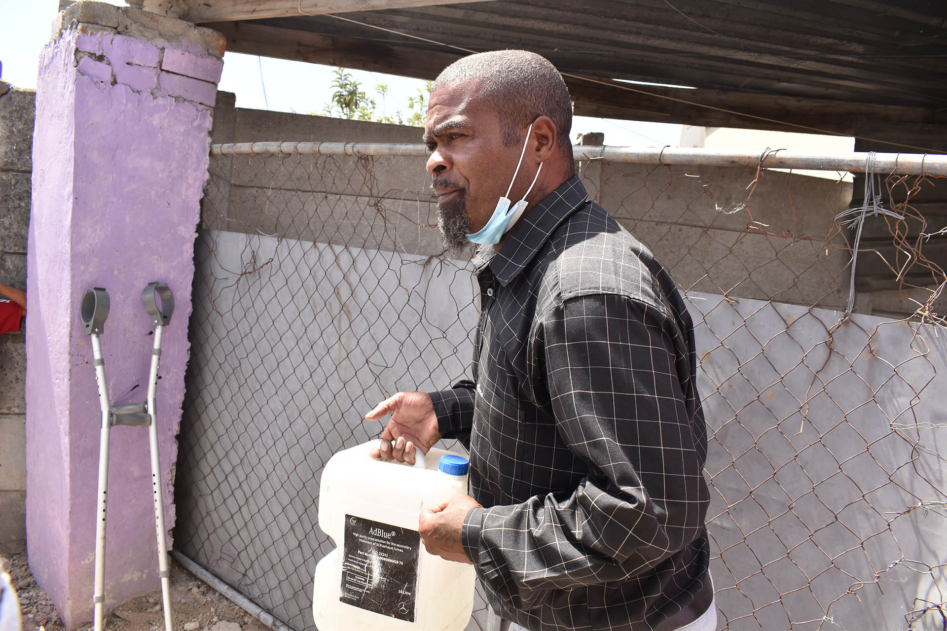
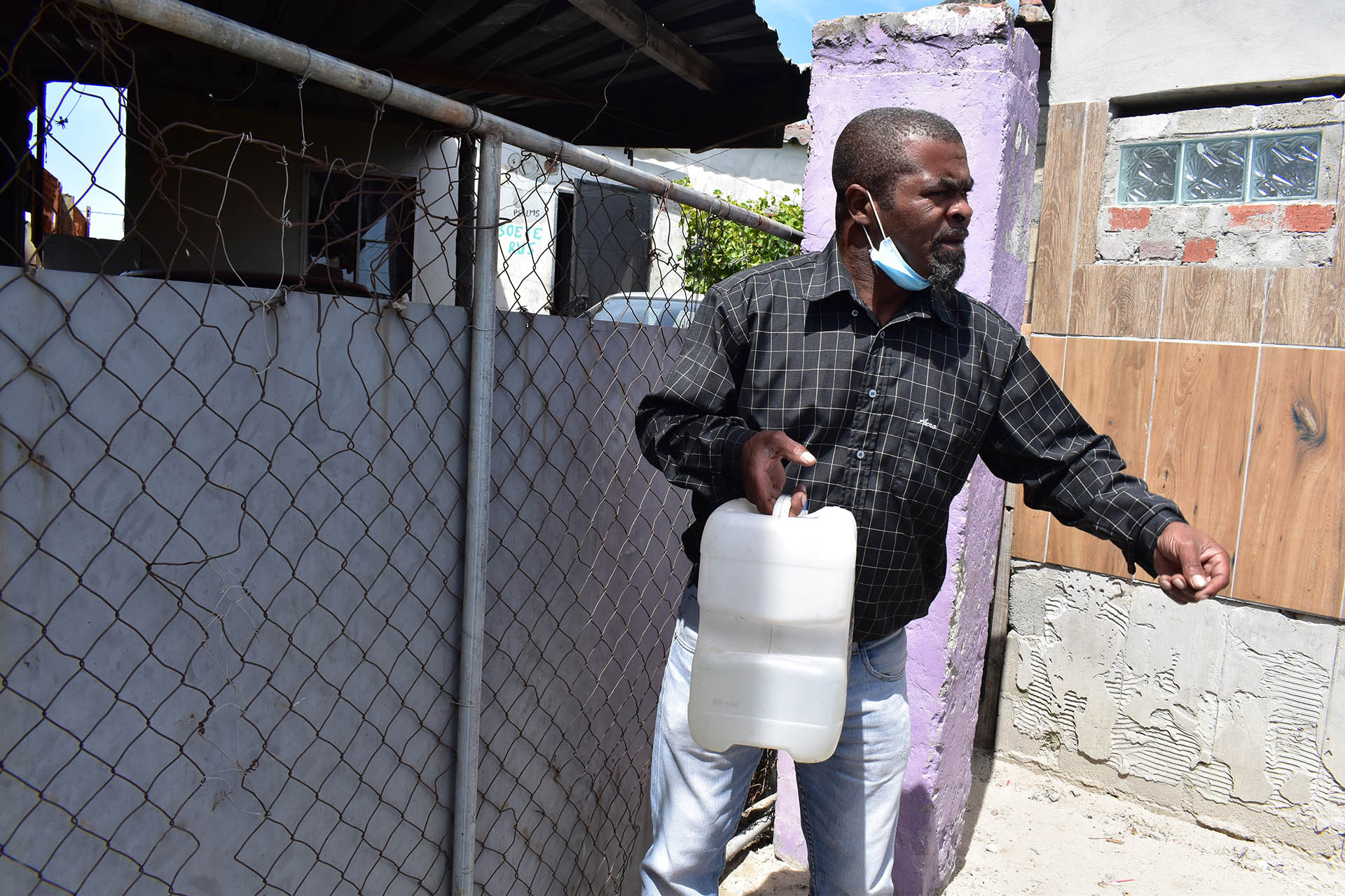
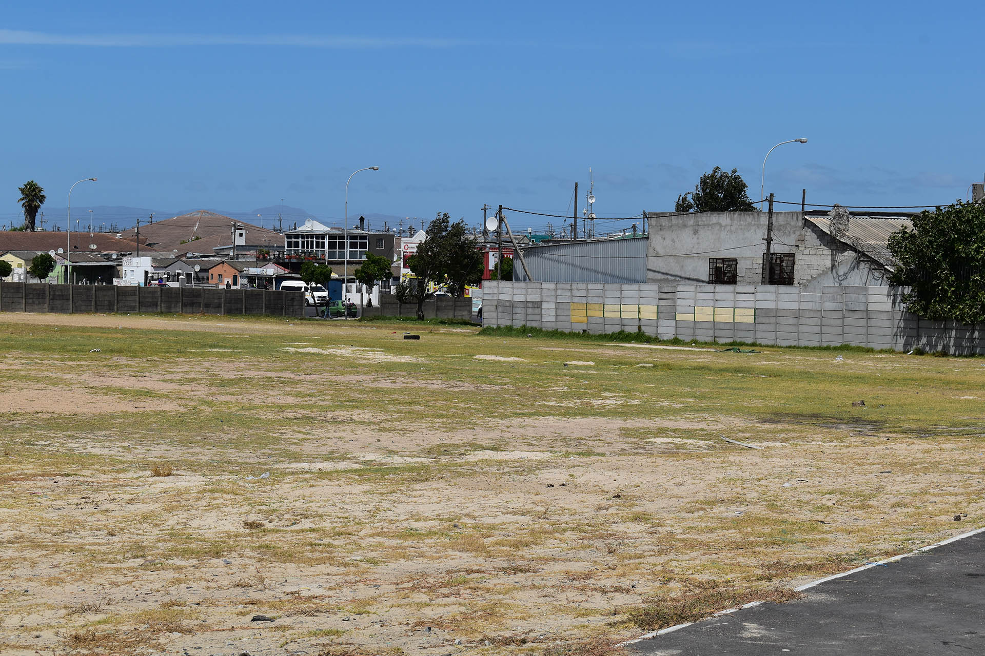
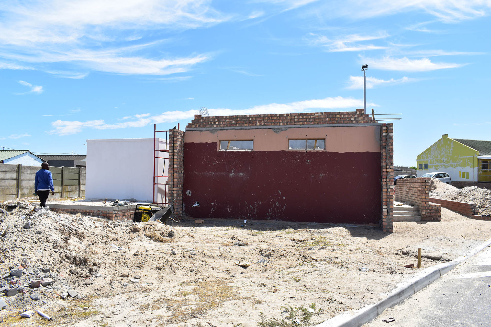
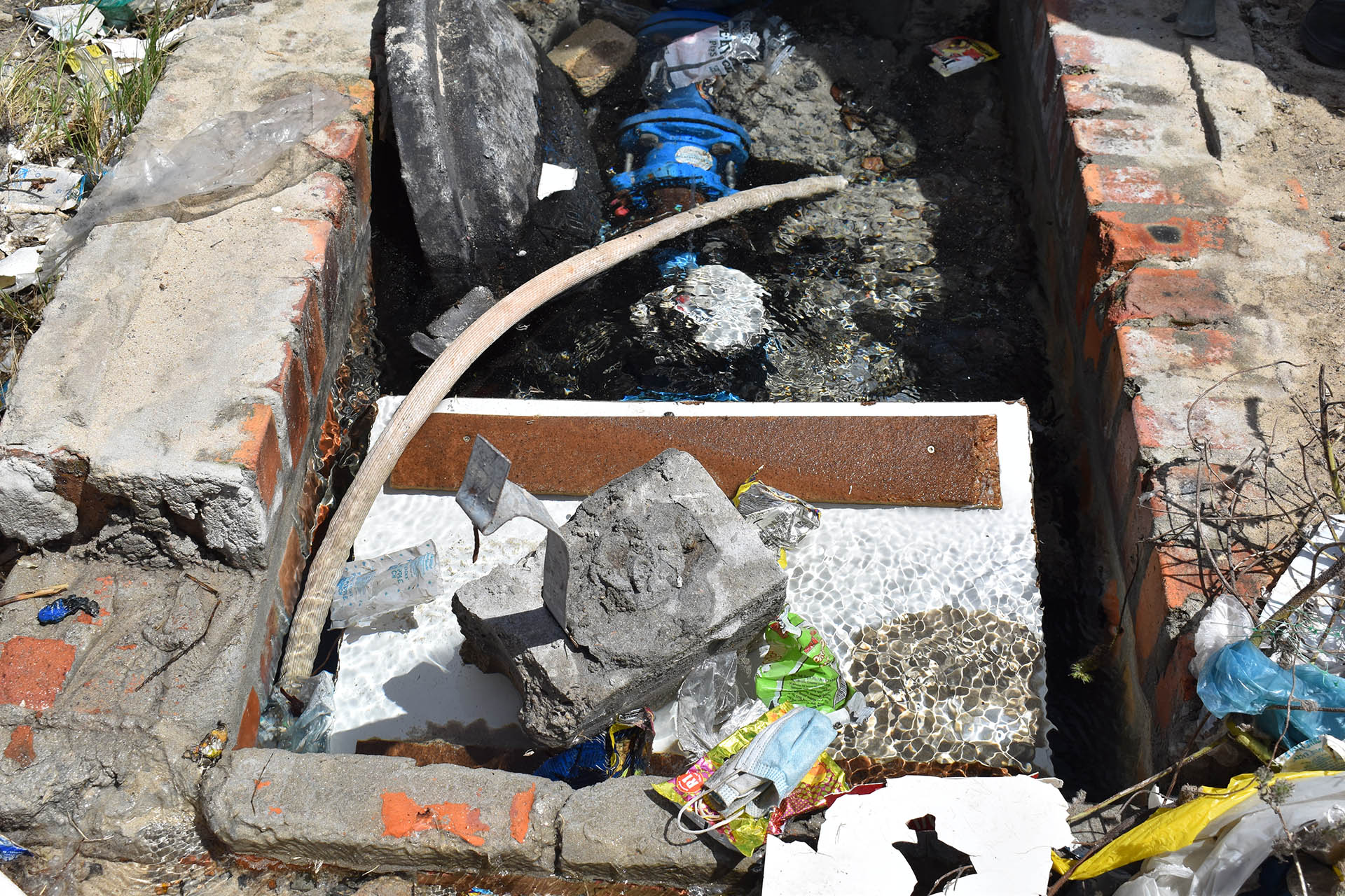
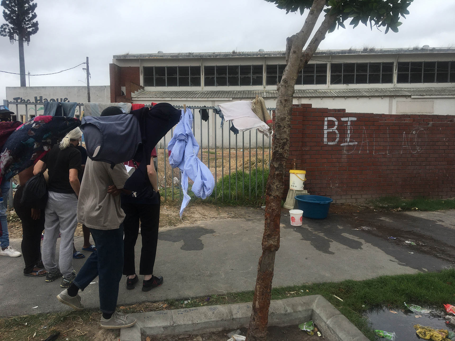
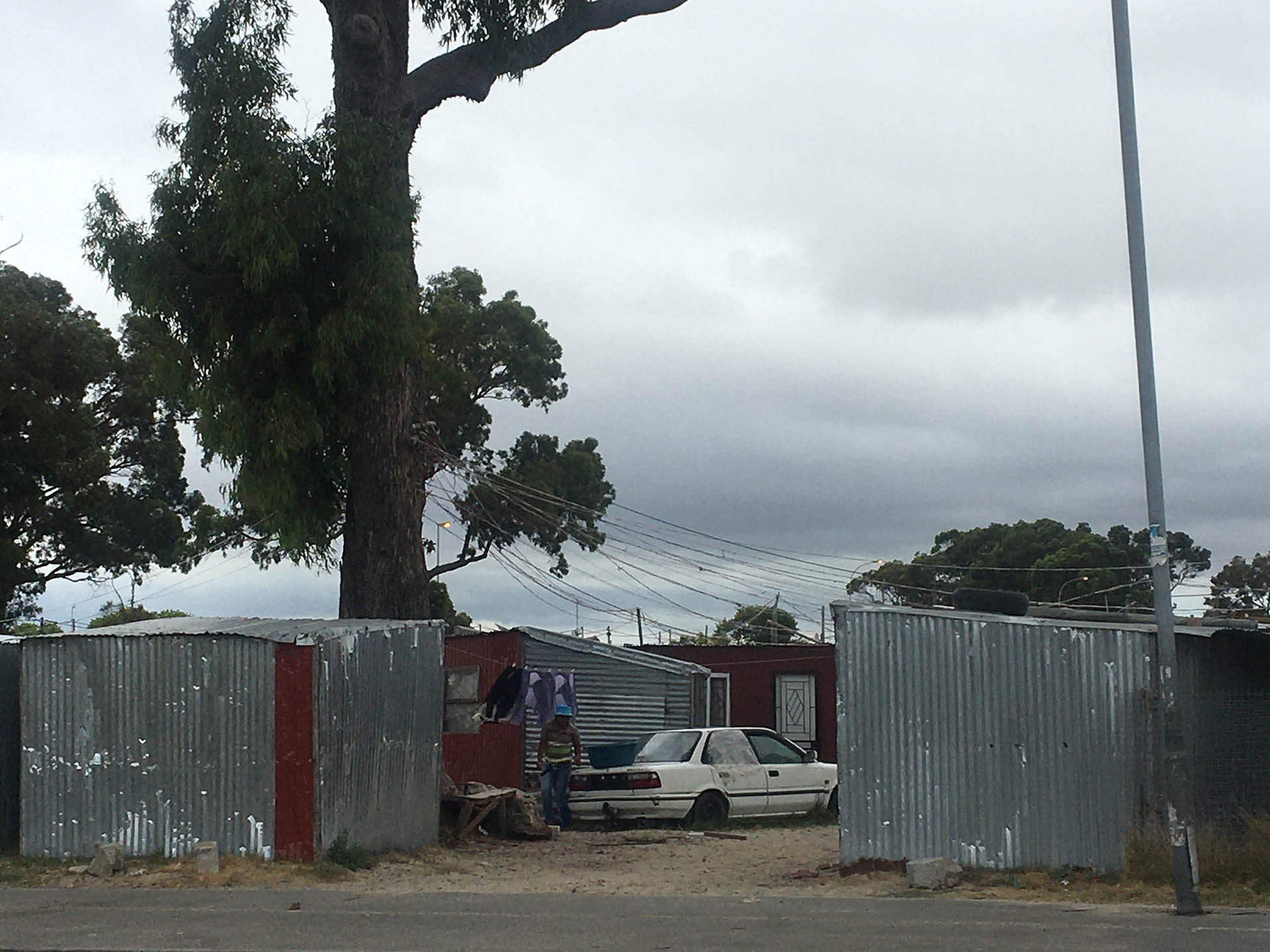
For community mapping the research team worked on foot across Delft with 16 participants – of whom half were prior digital storytellers and the balance being invited by those participants to be involved. After the aims, objectives and process of this methodology was explained, the team headed into the field in a process entirely led by the participants who took researchers to a particular geographic site of relevance for the water shortage challenge. These sites could be anywhere of significance for the participant and created important opportunity for open-ended discussion to learn more about this significance. Recording devices, GPS, cameras/video and sound recorders were used to document the process. Once all participants had shared their local sites of significance with the team all headed to the local workshop venue where individual maps were drawn of each participant’s perspective of the community and the climate challenge, and a range of questions asked, discussed and documented. Finally, in a group exercise the participants reviewed and annotated a high resolution aerial photo of the site according to their experiences of water shortages. In Delft the participants annotated the aerial photo with details of local infrastructure – both working and otherwise, where the localised sites of high demand for water were located, and also other spatial perspectives to the water shortage challenge.